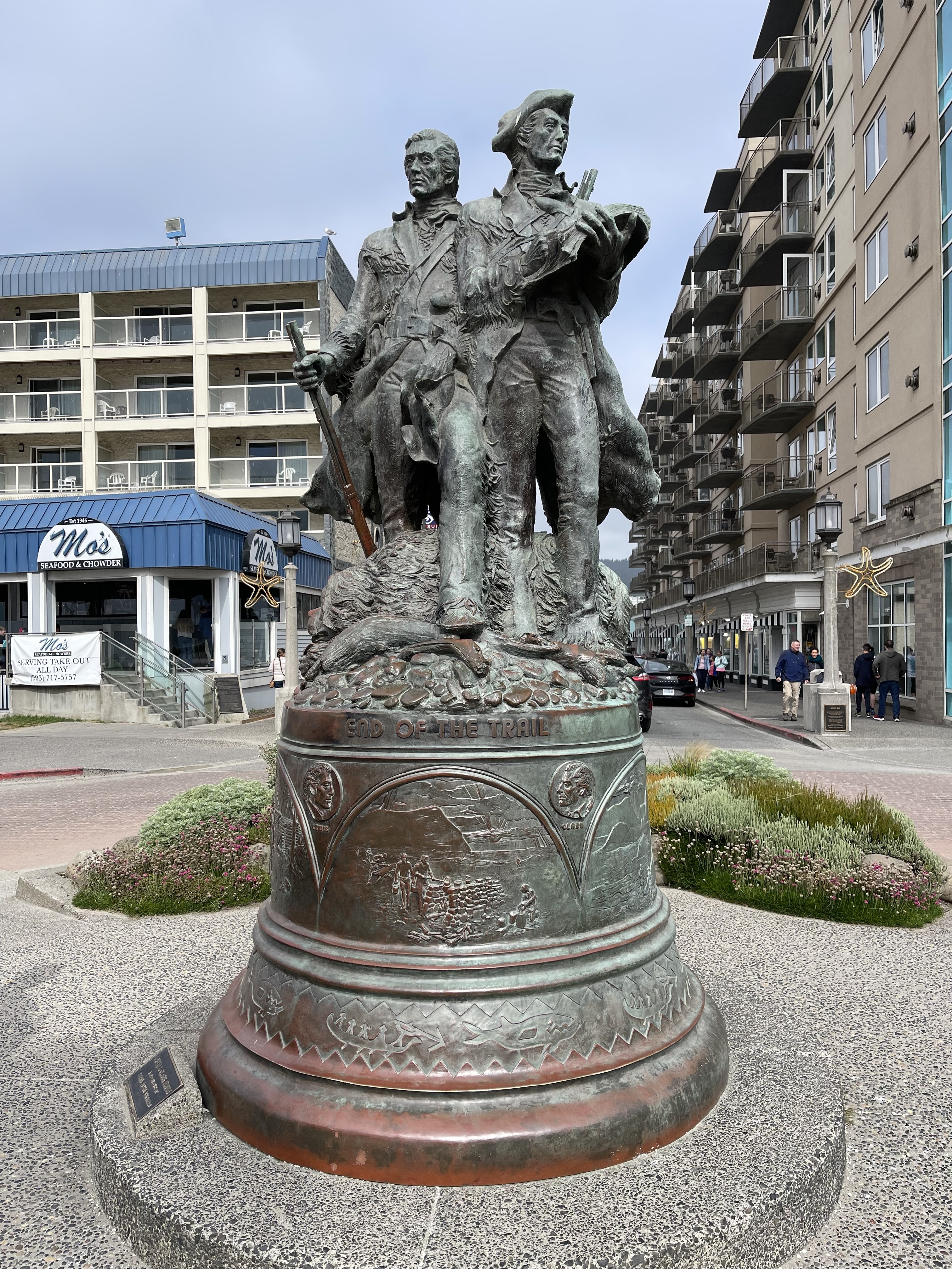
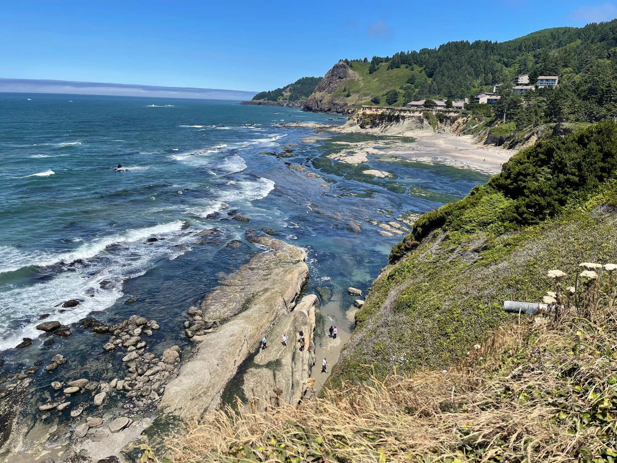
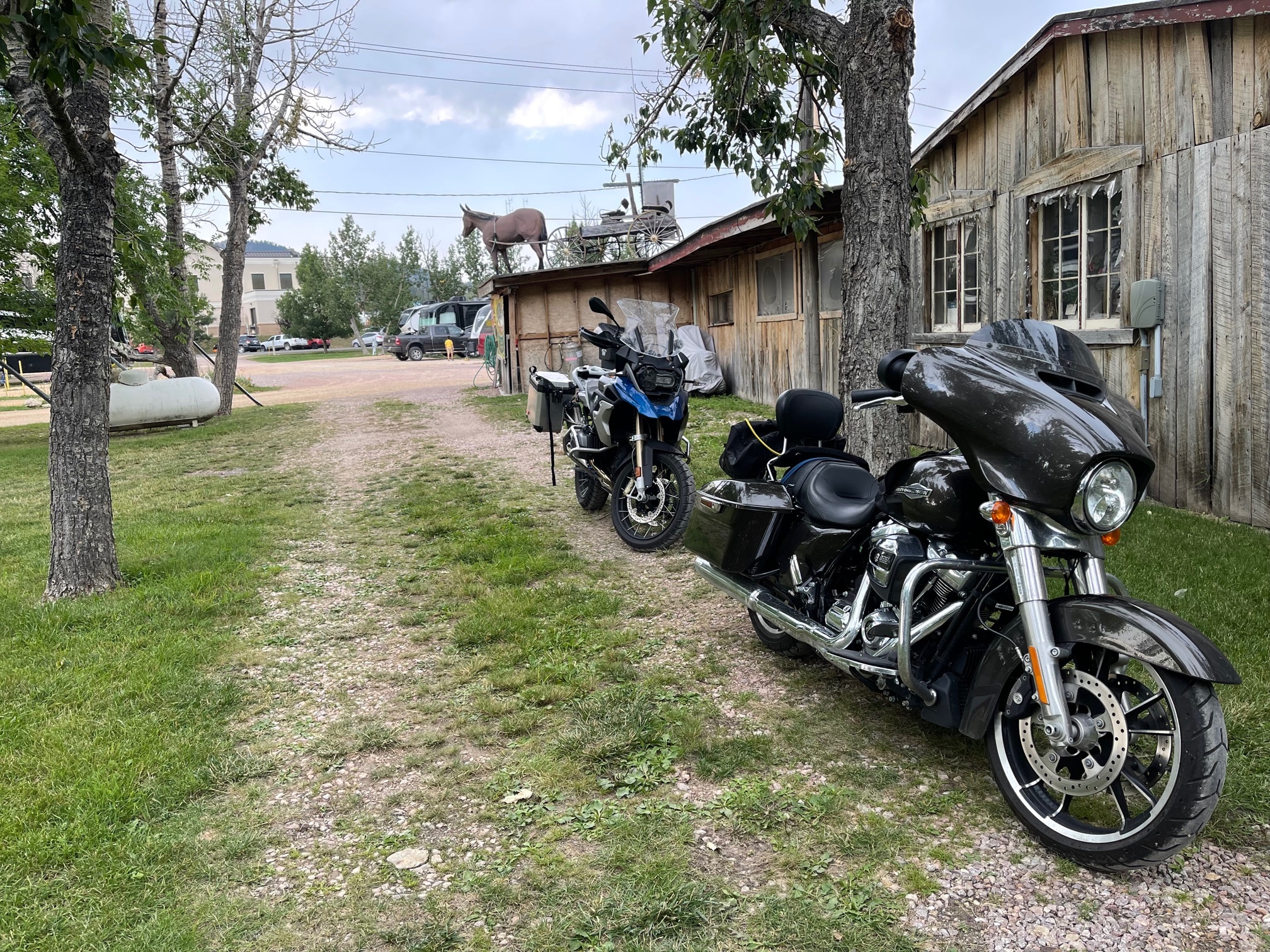
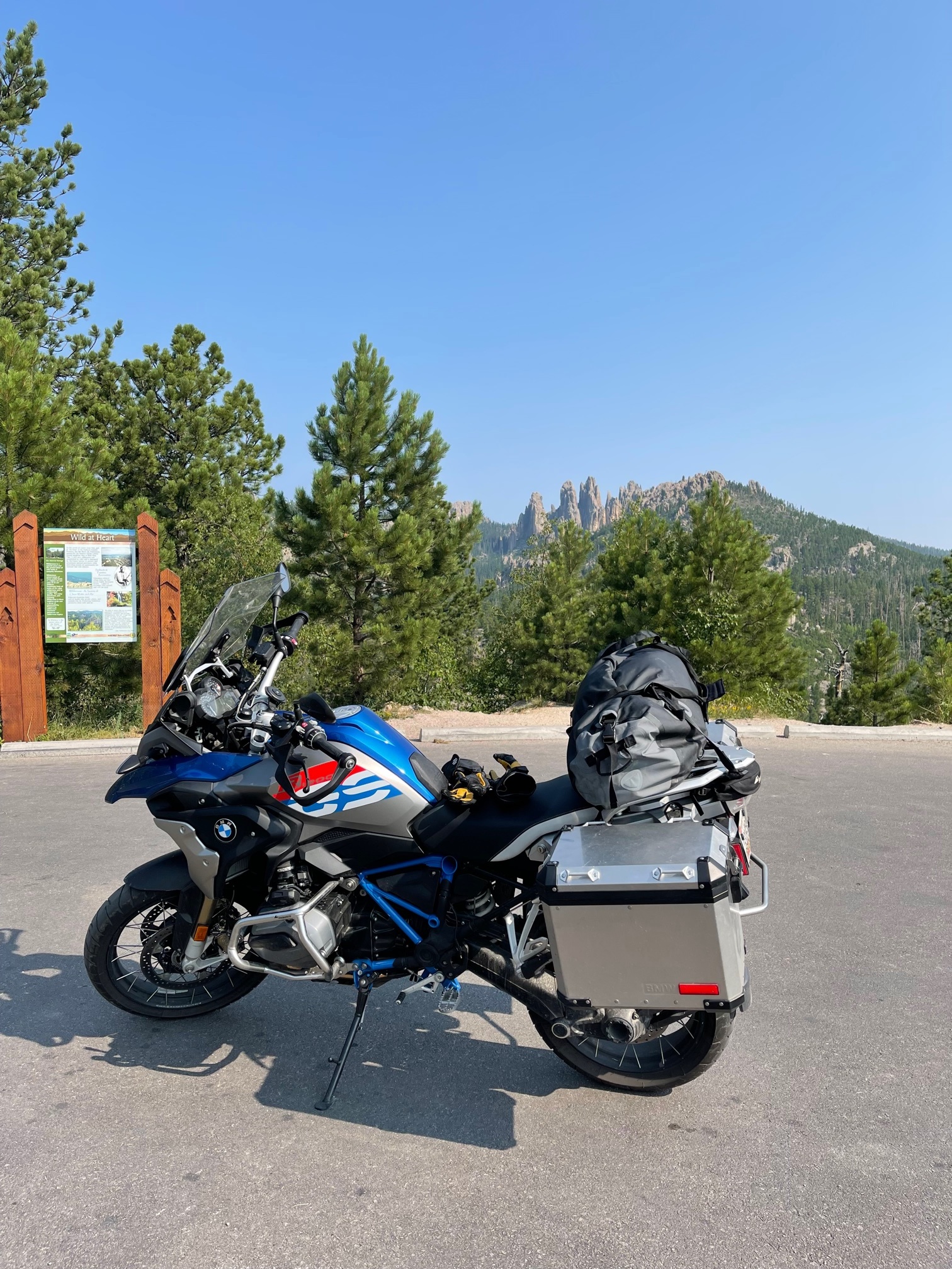
Pre-ride slog from Missoula to Seattle
Day 1 - 7/11/2021: 480 miles (480 total)
7:34 pm
(2080)

Rosana and I took an off day after driving from MD to Missoula (actually Stevensville, a bit south where our friends Bill and Barb live. Then we did the whole 480 miles to Seattle in one day; rosana driving Sven and I on the GS. 480 miles is a long way on a bike, especially when the road temperature goes over 100.

Rosana and I met at rest areas. In one, my stomach was upset either from heat exhaustion, or from chugging 64 oz of Gatorade over the last hour. I climbed into Sven and sat in the air conditioning for 15 minutes before heading back out.

Worse than the heat was the half an hour of stop and go traffic over the last set of hills before getting to Seattle, and then of course careening wildly across five lanes of traffic on I5 in less than a half mile to get the proper exit.

Ugh.


First Day of the trip
Day 2 - 7/12/2021: 135 miles (615 total)
1:42 am
(2061)

The idea is to do a grand tour throughout the west. This is kind of a last-minute affair because we had originally intended to ride to Alaska and back, but Canada hadn't opened their border yet, so we pivoted to the west.

The first day started with picking up Ervan's bike from the EagleRider rental shop at noon. We picked up lunch nearby and then took the 1:35 ferry to Southworth from Fauntleroy.

From there we headed across the the top of the beautiful peninsula over to the west shore, or at least that was the plan. Unfortunately, everyone else has the same idea about getting outside effectively-post-pandemic. All the state and national parks seem booked through September, at least as of 7/17. A two or three weeks ago I was able to snag some of the final spots in two state parks: Cape Lookout and Alfred Loeb.

For the first night, however, we had our choices of hideously overpriced "resorts", crappy RV parks, or FCFS sites. We decided to checkout Fairholme State Park first, as it was relatively early in the day and had 88 FCFS sites. The thinking was that if there were a "lot" of spots available, we could confidently continue to the FCFS campground South Beach a bit further down the road.

There was one site. We took it.

The campground was absolutely beautiful, but I've been very poor about taking pictures. Our site was one of the least desirable sites in the park, and had no level ground (bad for parking motorcycles, and potentially for camping), but still was fine, and in the absolute middle of an old-growth forest w/ great views around us.

There was absolutely nothing in the way of stores near the park, so we ended up eating ritz crackers and sharing a single beer I'd brought. Living like kings!


Into Alfred Loeb State Park
Day 4 - 7/14/2021: 282 miles (1184 total)
7:11 pm
(2064)

This might end up the prettiest ride of the trip, but I don't have too much to say about it. Sadly, not too many pictures or anecdotes.

Alfred Loeb was a great state park. It's on the river, and once again we rolled in late at about 8:30 so we weren't able to take advantage of swimming in the lake.

In any case, it's generally been cold on this trip so far. Whenever we are near the coast it's in the 50s to 60s. As I was worried about the heat (and the Heat Domes), I only brought my permeable motorcycle jacket. This means to block the wind I have under it my goretex raincoat. Sometimes more is needed as we're biking 60 mph in temperature in the 50s with no sun. In the coldest part I loaded up with everything I could possibly put on. For my top, I had:

  • silk liner
  • t-shirt
  • wool overshirt
  • polartec fleece
  • goretex raincoat
  • motorcycle jacket.

Similar for my legs, though I don't have quite as many layers. This was mostly warm enough.


Into Red Bluff
Day 5 - 7/15/2021: 283 miles (1467 total)
7:33 pm
(2066)

This morning we tried very hard to get out of the campsite before the 9:30 or 10:00 of the first two days. Success! We had a quick breakfast of coffee / oatmeal in the campground and got out at 8:30 or so, feeling quite good about ourselves.

Sadly, at about 9:30 we hit a roadblock where they told us the road would be blocked until noon. Argh! There was no other realistic path towards where we wanted to go, so we went back a few miles to the last town and had blueberry pancakes and occupied our table with our laptops for a couple hours. Upon going back up we had another hour of waiting but finally got going.

The ride continued along the beautiful coastline until we headed in

Through this and other downtimes we've had lots of chats with other riders. Invariably it's been fun, as I, at least, don't really have too many friends that ride. It's great asking people about the things they do and don't like about their bikes, where they are going, etc.

We had a few stops here for chainsaw carvings, and the World Famous Tour-Through Tree, cost $3.00. I also did this on my 2008 tour and it's exactly the sort of kitsch that's fun to see, so we had to go. This was dicey, though, as the approach was extremely sharp, uphill, and there were cars waiting. I made the mistake of stopping behind the cars on probably a 15 0ownhill, meaning I had no chance of getting into gear and going uphill. The only thing I would do if I tried was stall and drop the bike on a very inconvenient spot. A helpful bystander offered to help me hold the bike but this is a terrible idea, because even my bike weight 550 lbs. After waving him off I vary carefully eased backwards at an angle so I ended up w/ a much lower effective slope, and then started up the hill.

Ervan came after me, saw my plight, and just continued powering up the hill w/ no issues. Argh.

We were running out of time quickly, but we still wanted to see redwoods and so we took the Drury Redwood Scenic parkway to see the enormous old trees. Took a short hike to the Cathedral Grove at the Elk Prairie. Supposed to be elk everywhere, but none were in sight, just like when we camped here in 2008. However, biked out of the campsite back then the elk were everywhere in the morning.

The stop for the night was at a Hampton Inn. With useless wifi. And we had an overpriced dominos piazza for dinner as nothing else was open. Red Bluff not recommended too highly.


Into Reno
Day 6 - 7/16/2021: 253 miles (1720 total)
7:30 pm
(2065)

This is the day we headed east away from the coast. My wisdom in bringing the breathable motorcycle jacket w/ layers was immediately obvious. In a matter of 15 minutes we went from 72 degrees to 93. All the layers came off and it was still hot.

Our next major sight to see is The Loneliest Road in America, which starts west of Reno where Ervan lives, so headed to his house for the night.

The ride was, let's say challenging. Ervan has been riding twice as long as I and is much better on the twisties that all riders profess to love. This ride took us through the mountains with switchbacks, sheer drop-offs, and great views galore. Basically no pictures, though.

We also rode around Lake Tahoe, which is spectacularly beautiful, but very, very crowded.


Layover Day
Day 7 - 7/17/2021
1:55 am
(2067)


Eureka!
Day 8 - 7/18/2021: 271 miles (1991 total)
6:54 pm
(2068)

Today was the so-called Loneliest Road in America, which pretty much lives up to it's name. It's a stretch of 400 miles (depending on how you count it) with mostly dry sere vegetation (think sagebrush), and 70-100 miles between gas stops.

There is nothing out here between the stops except the road. The gas stops are at tiny towns w/ at least half their storefronts shuttered. Not sure how much of this is due to covid last year, or how much will come back. Covid might have given a big nudge to the death of these small towns.

It's beautiful, but you have to appreciate it for what it is. I look at the countryside and start appreciating subtle color changes in the soil, in the sage, the starkness of the ribbon of tar dividing the world. Definitely lived up to it's reputation.


Into Beaver
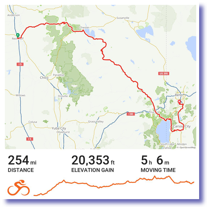
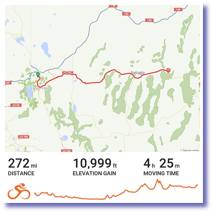
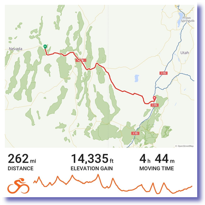
Day 9 - 7/19/2021: 262 miles (2253 total)
11:34 pm
(2069)

Today we started late, as the roads were wet. By 9:30 all was right w/ the world and we started out.

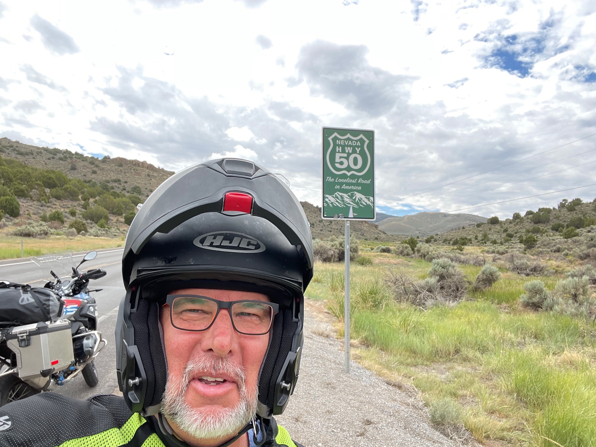
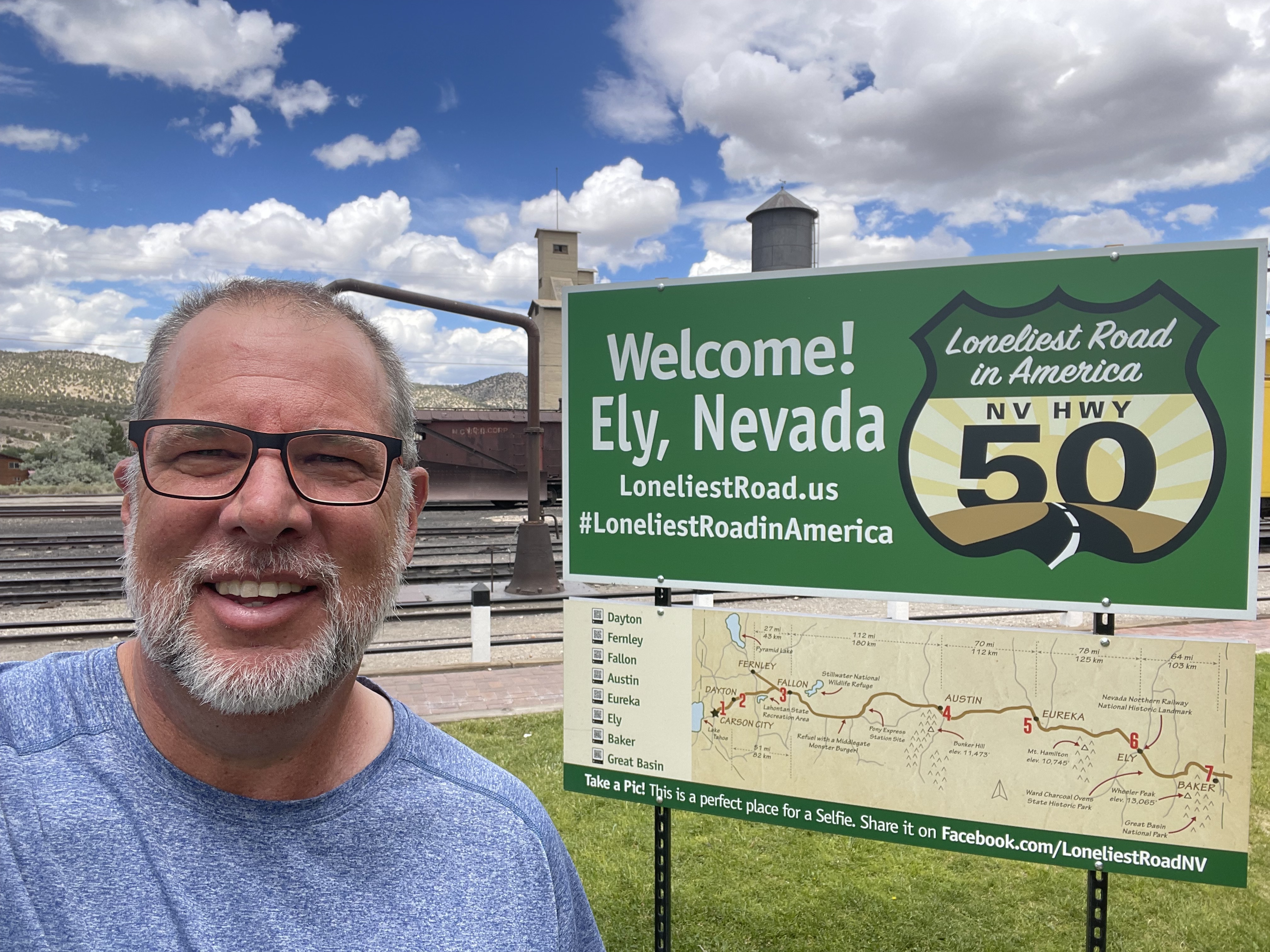
The plan was to go from Eureka, one of the middle cities on 50, through Ely to Austin NV, pretty much the last city, and end up at a KOA over the border in Beaver UT. This all worked out, but there were some dicey points.

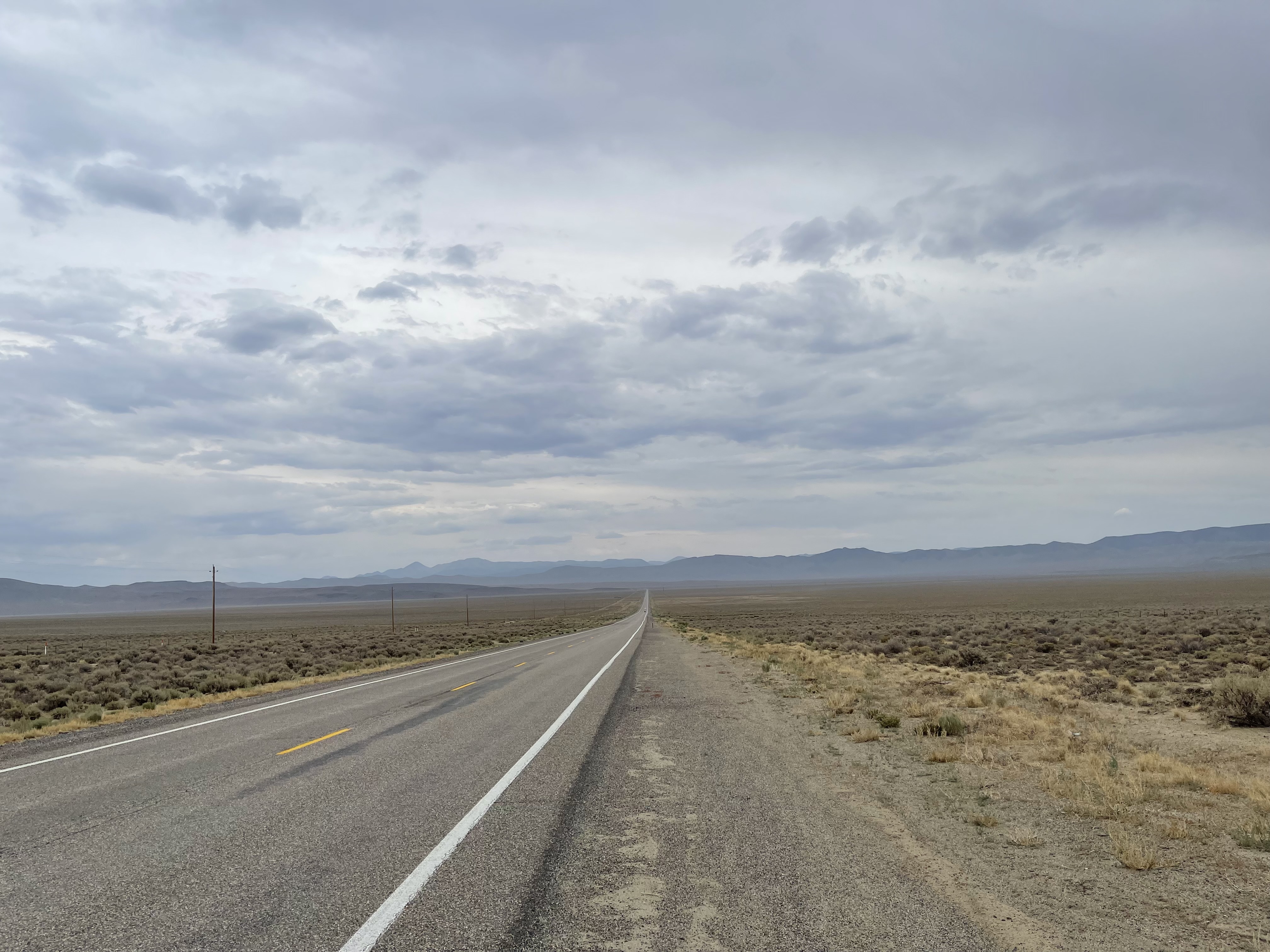
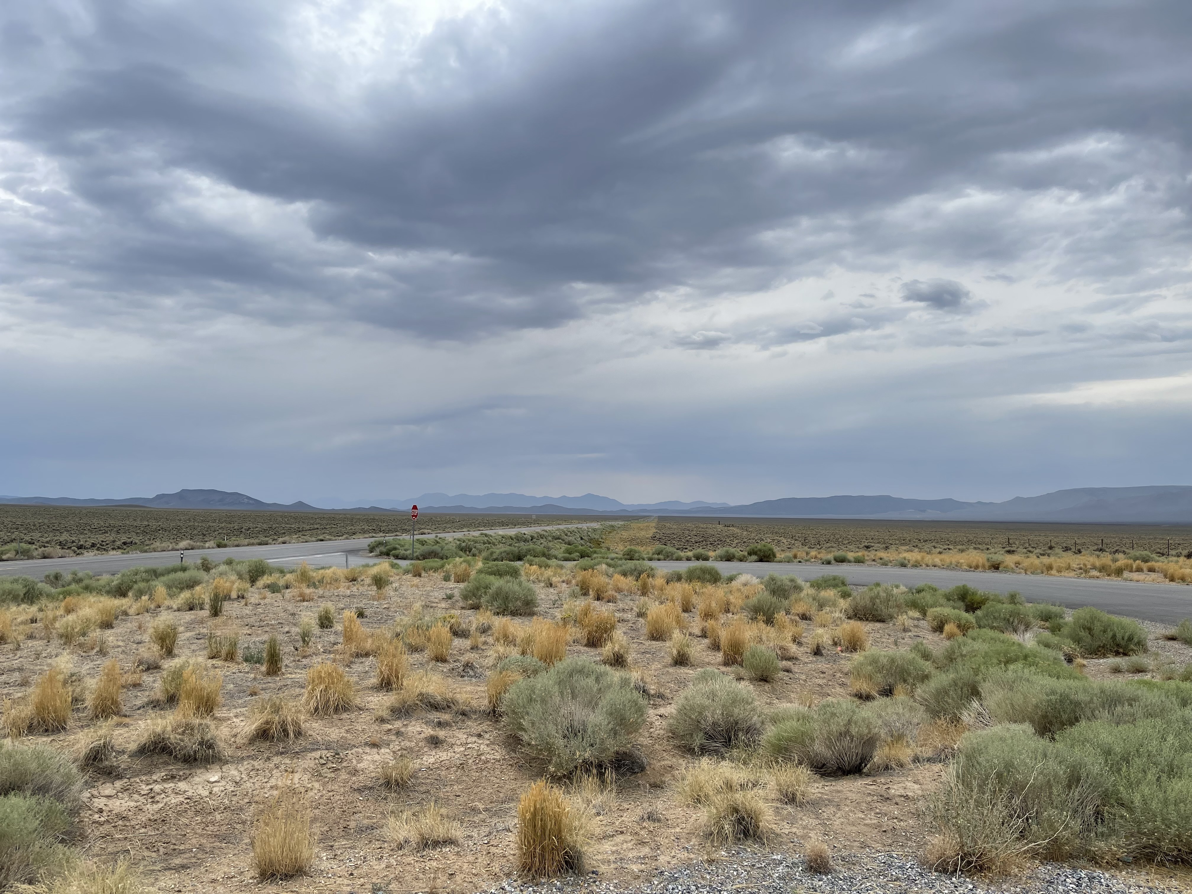
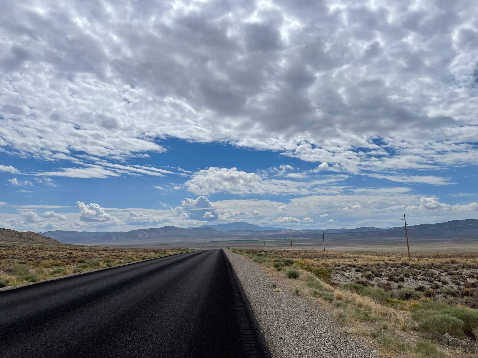
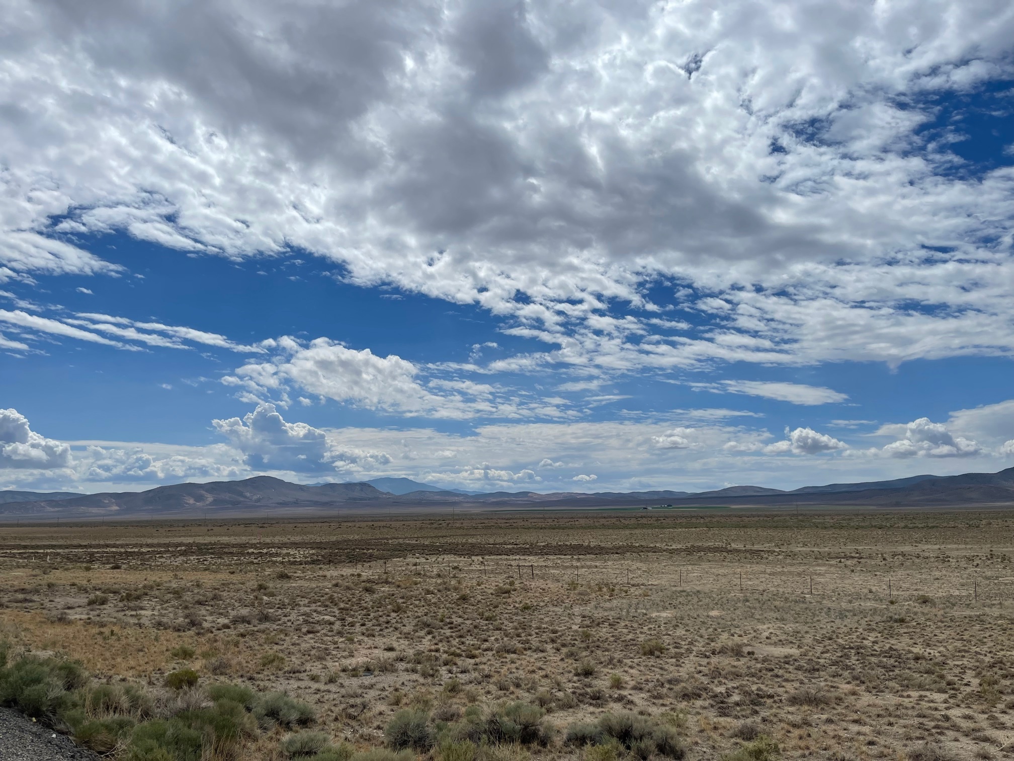
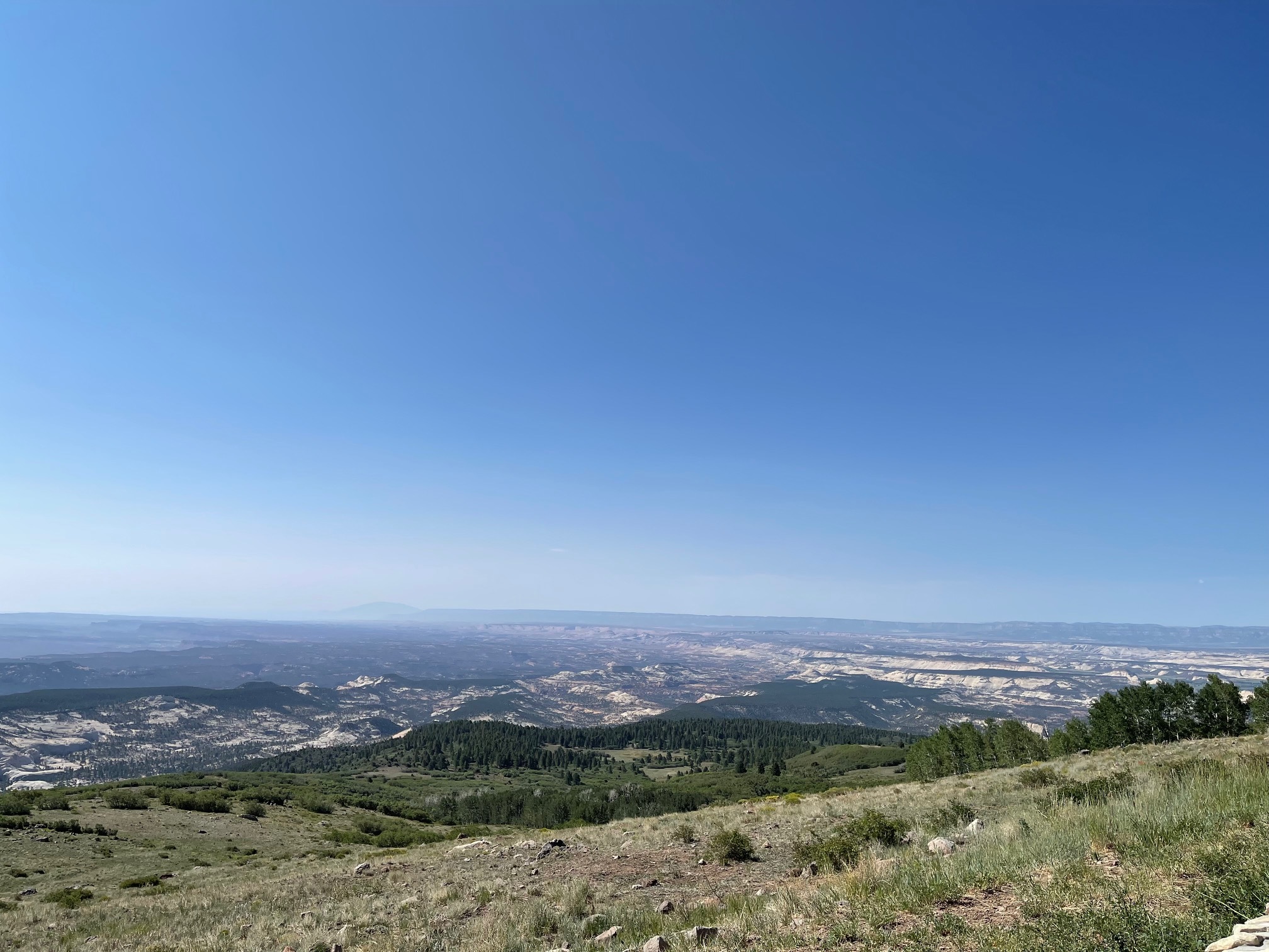
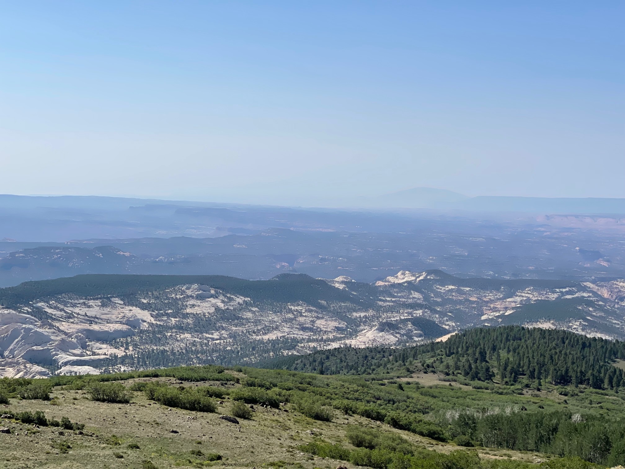
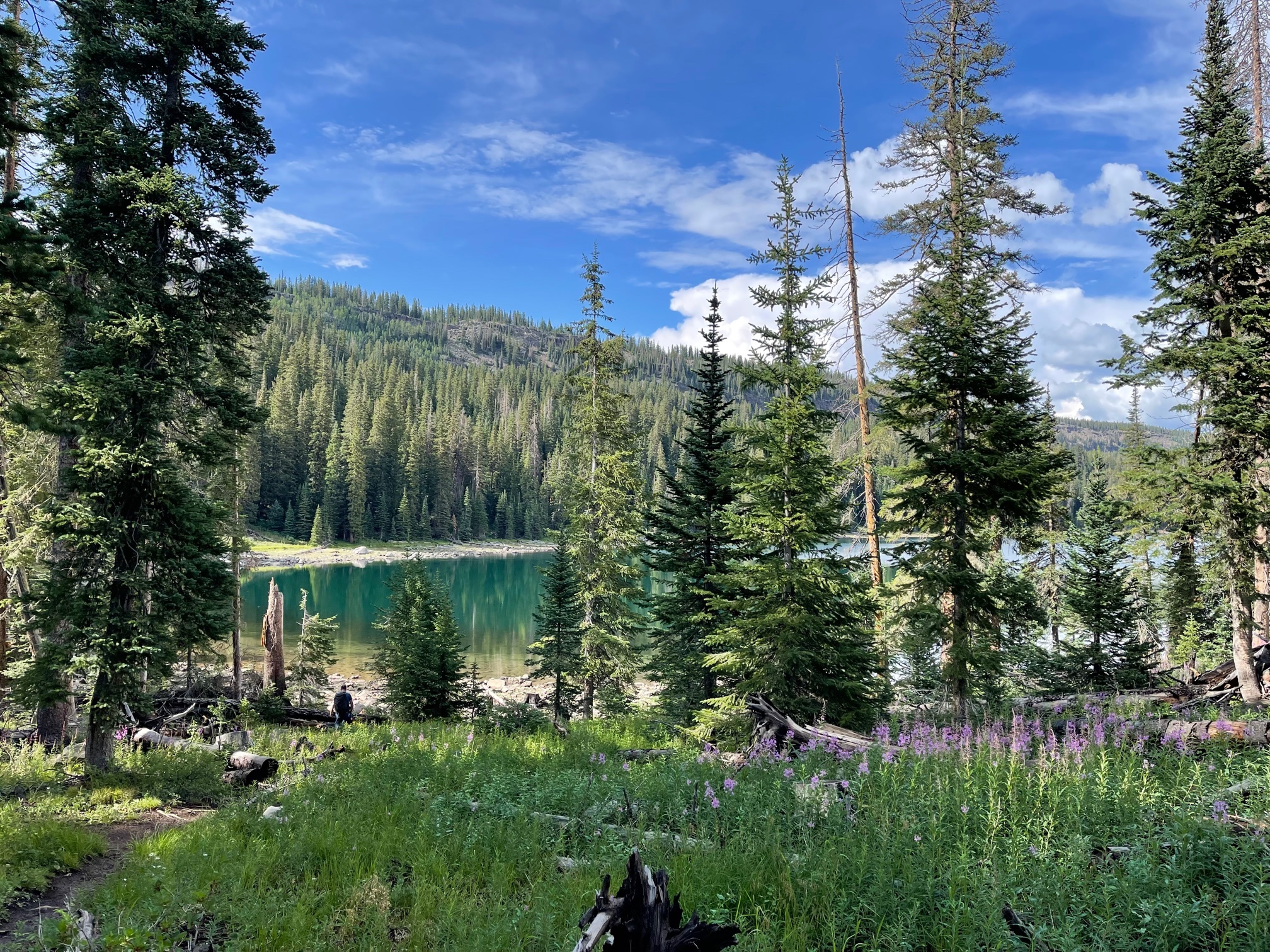
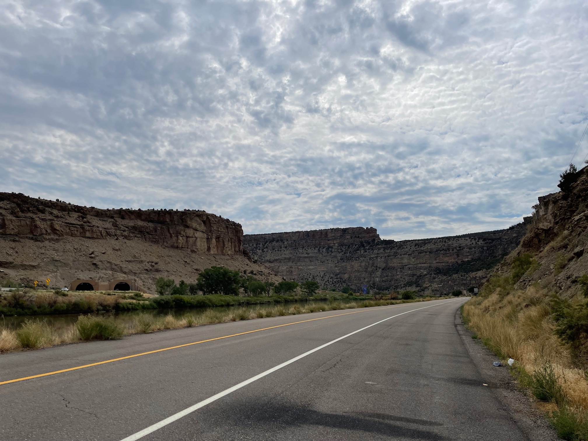
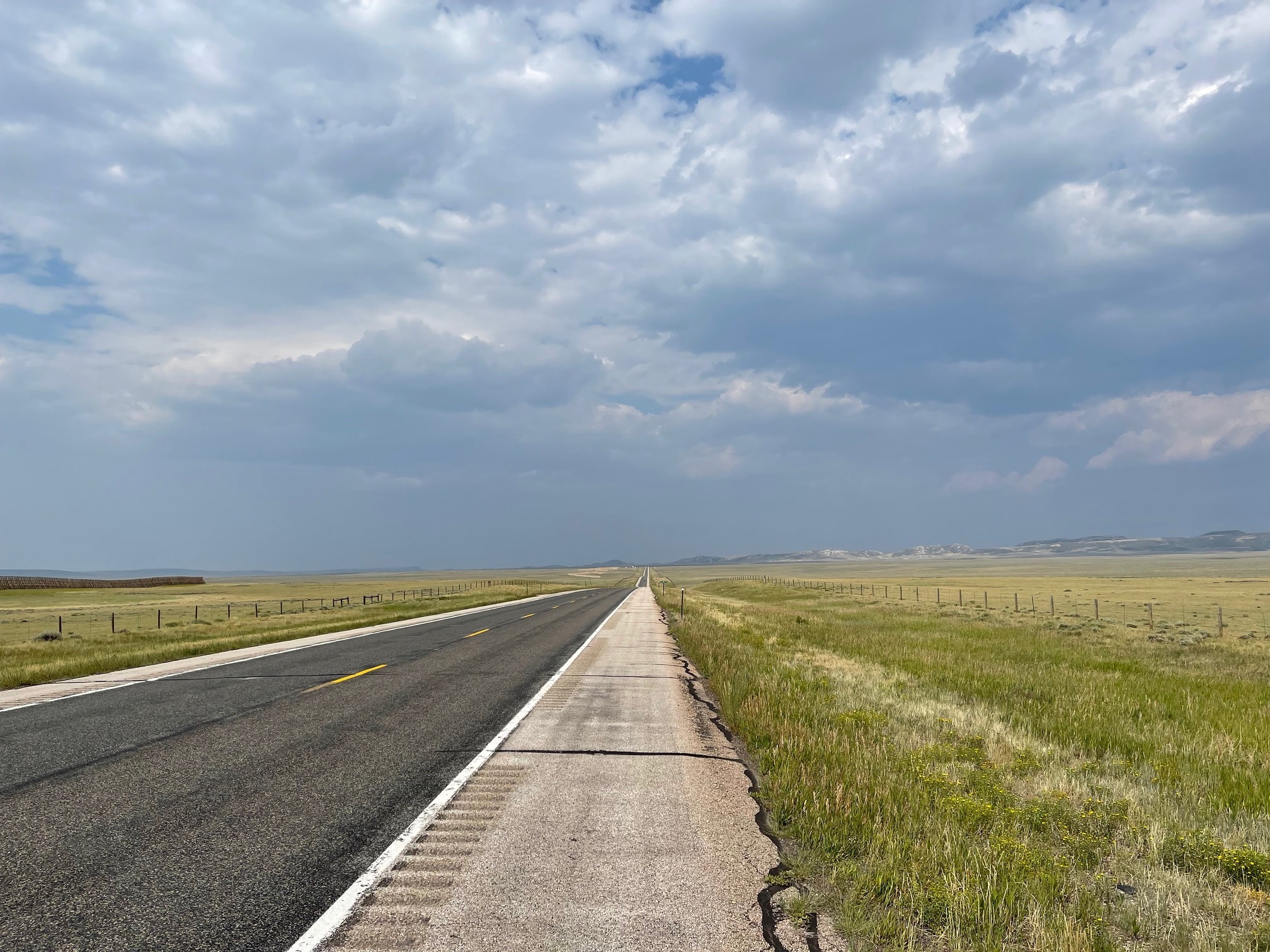
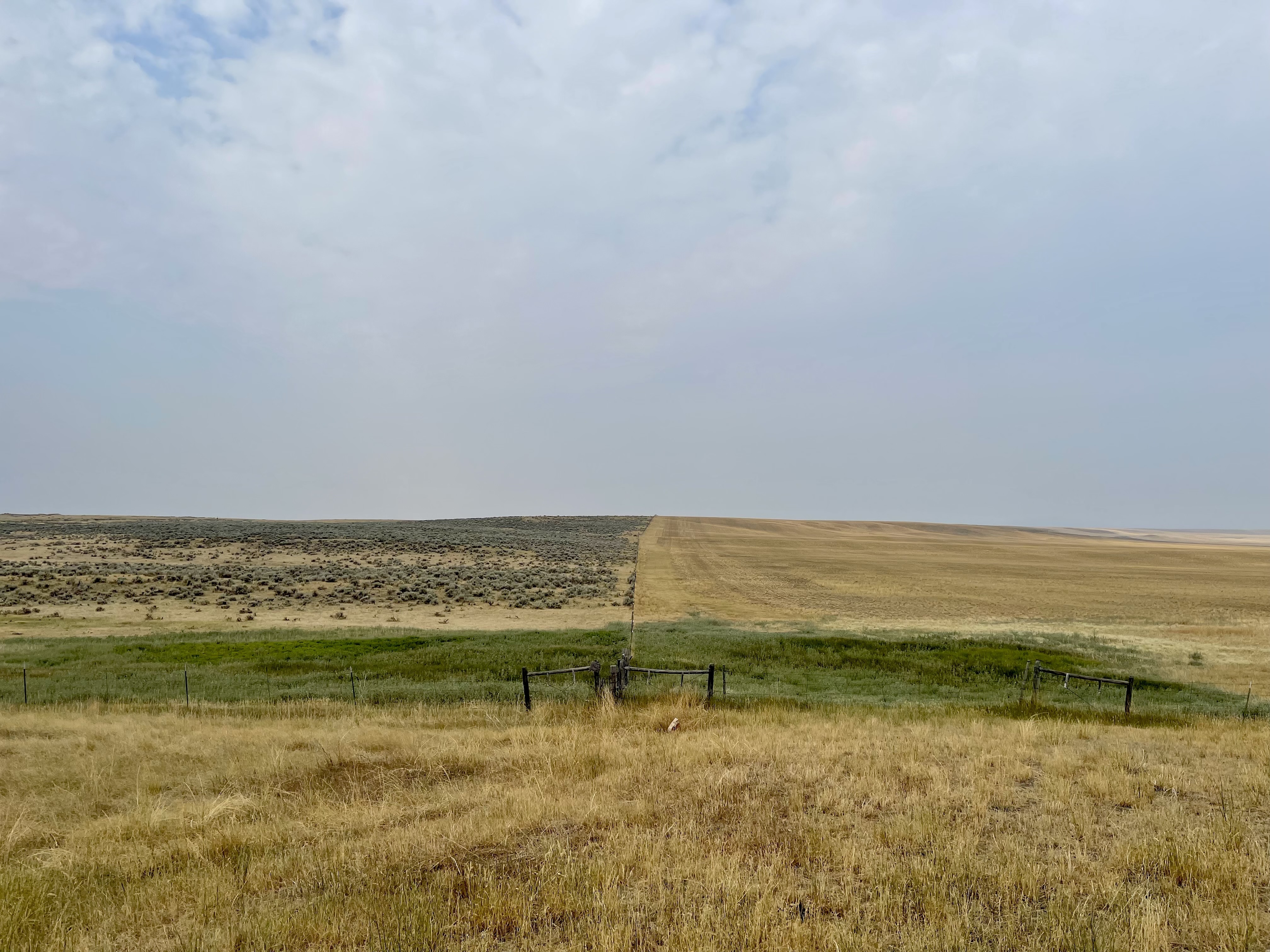
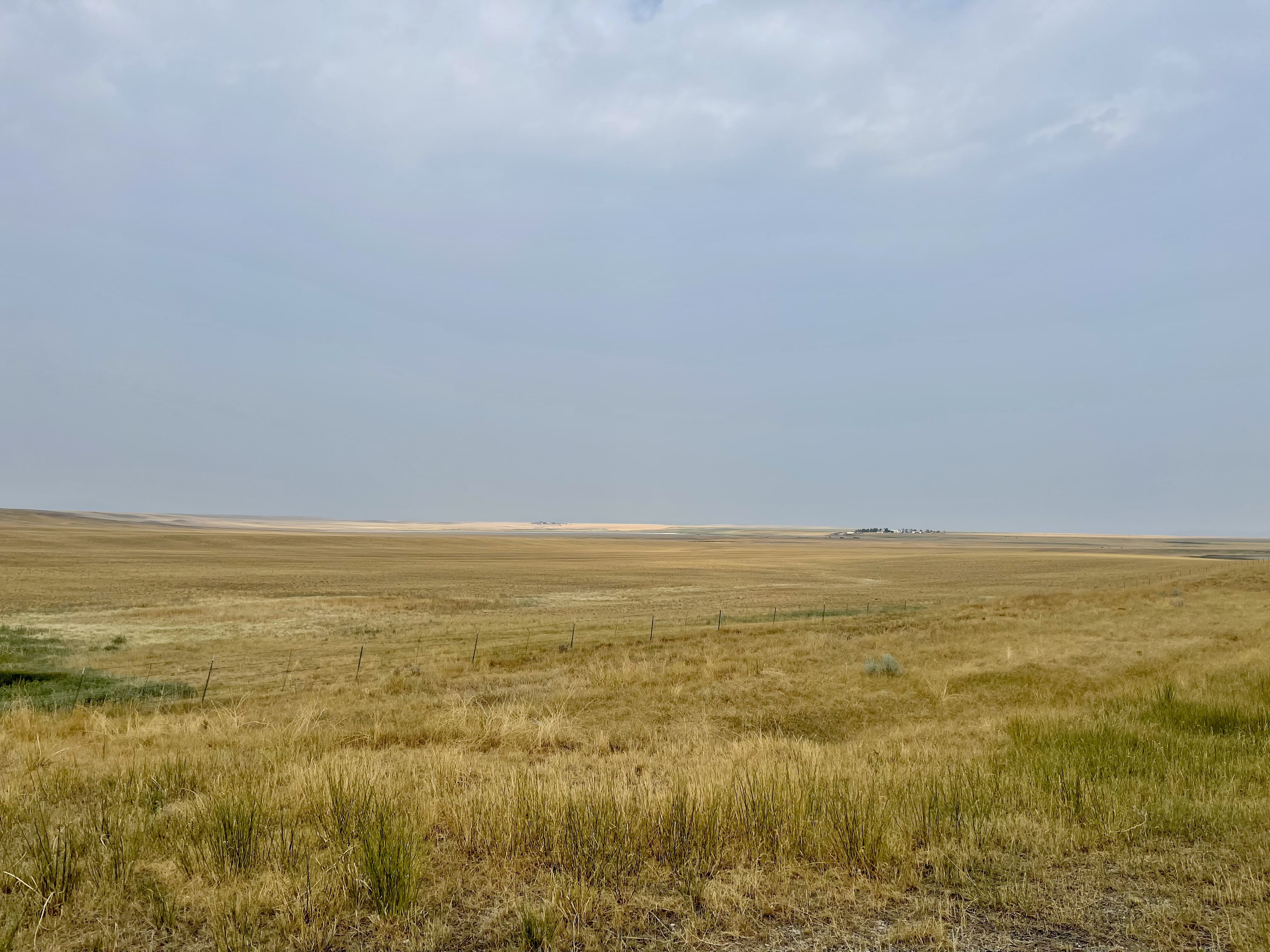
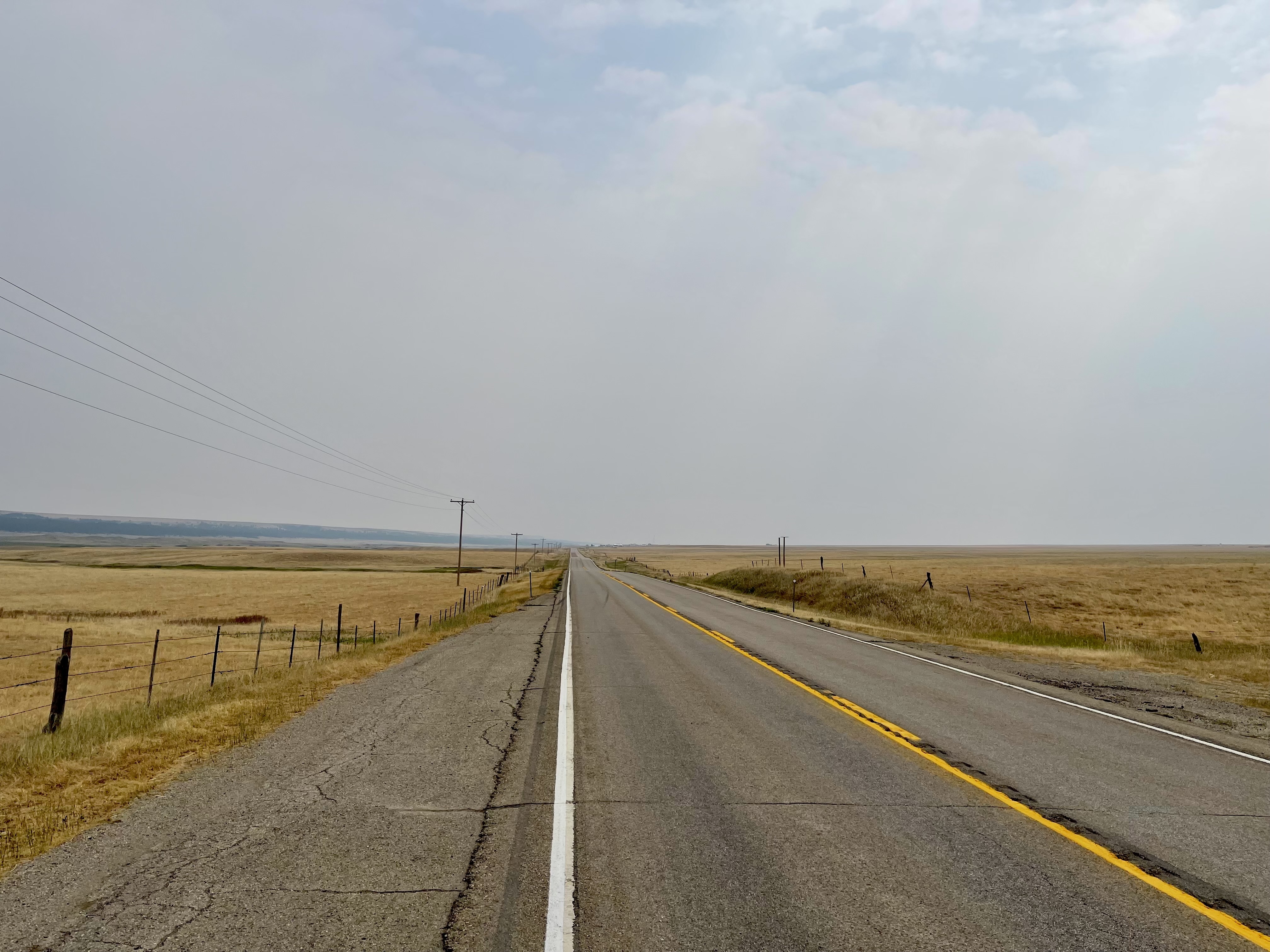
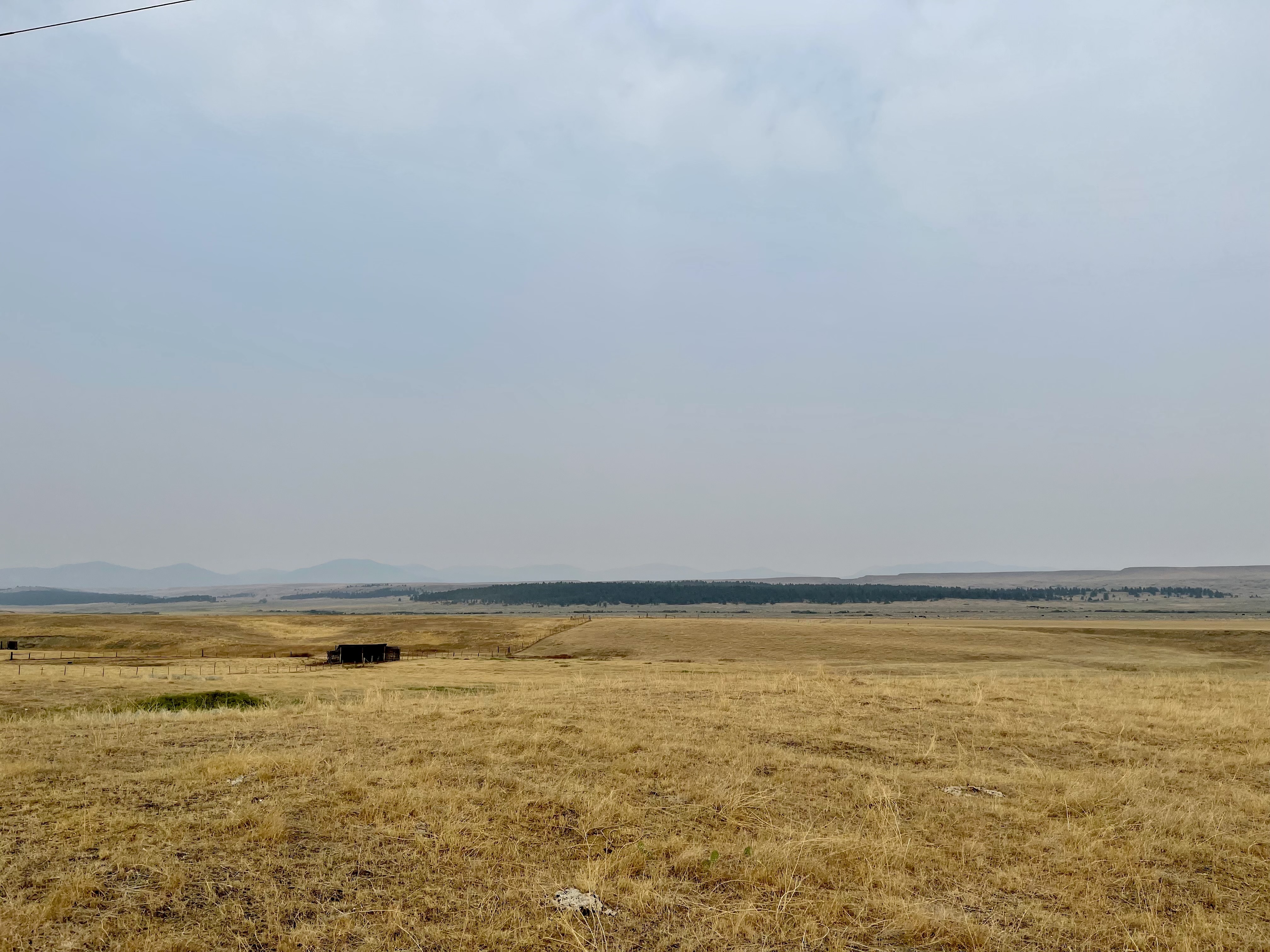
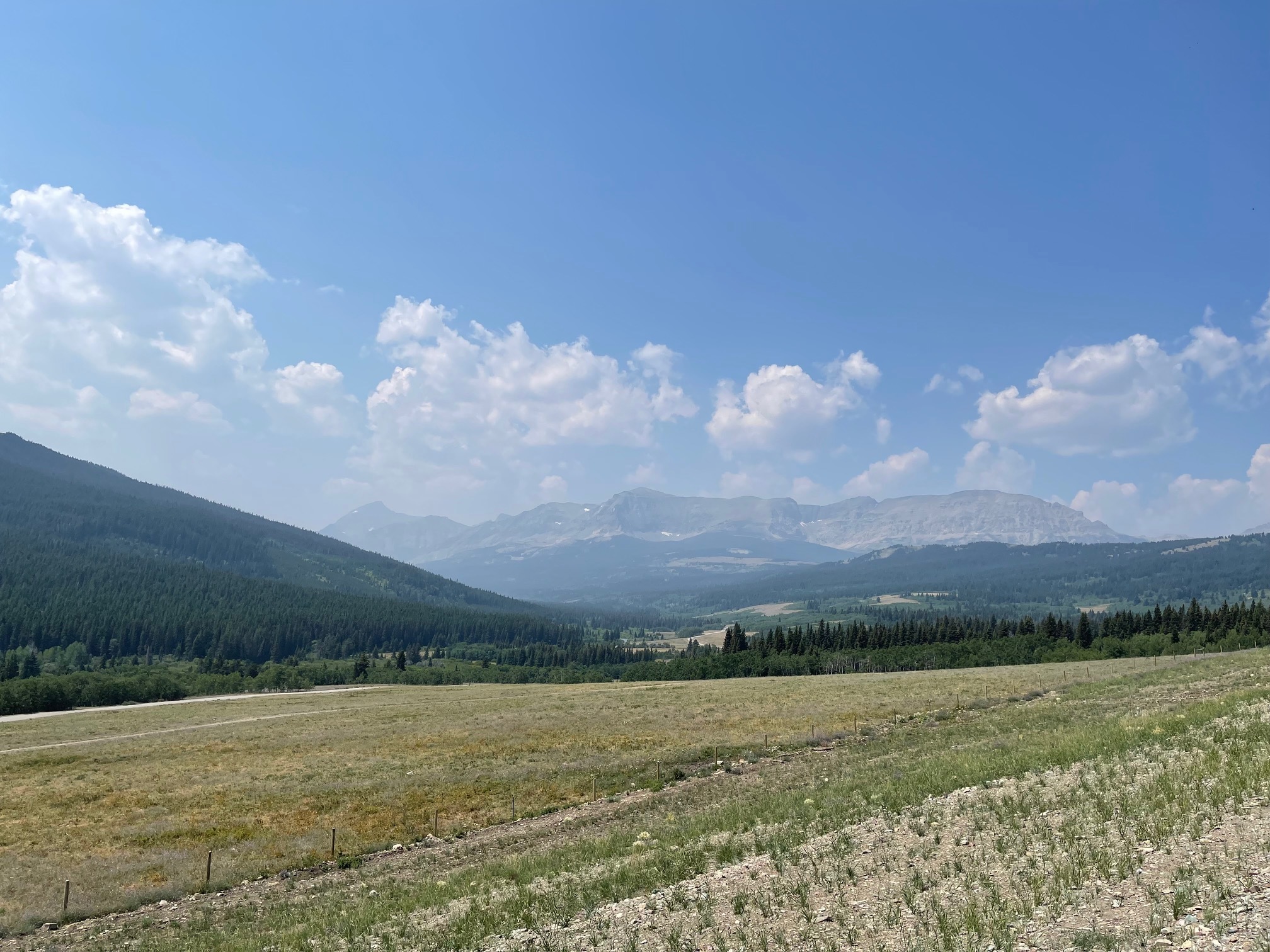
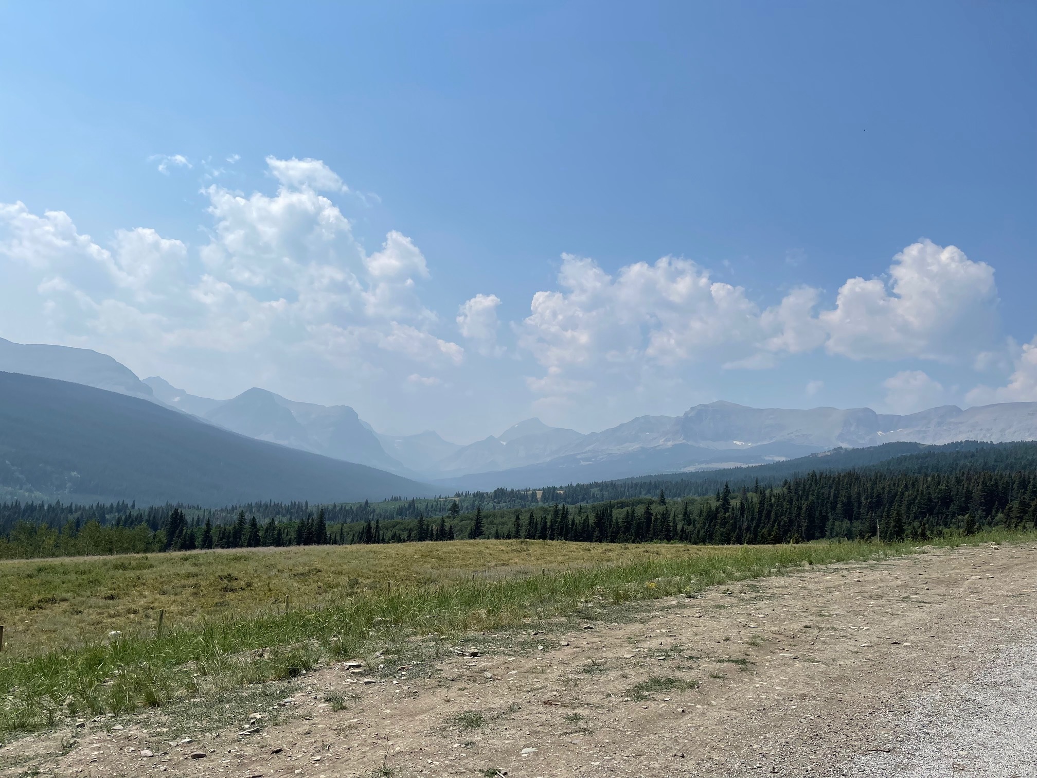
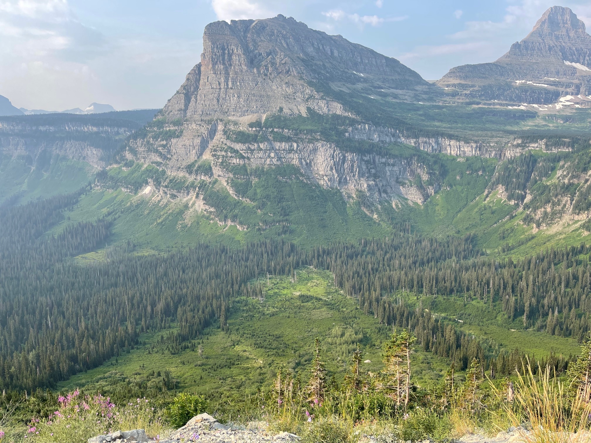
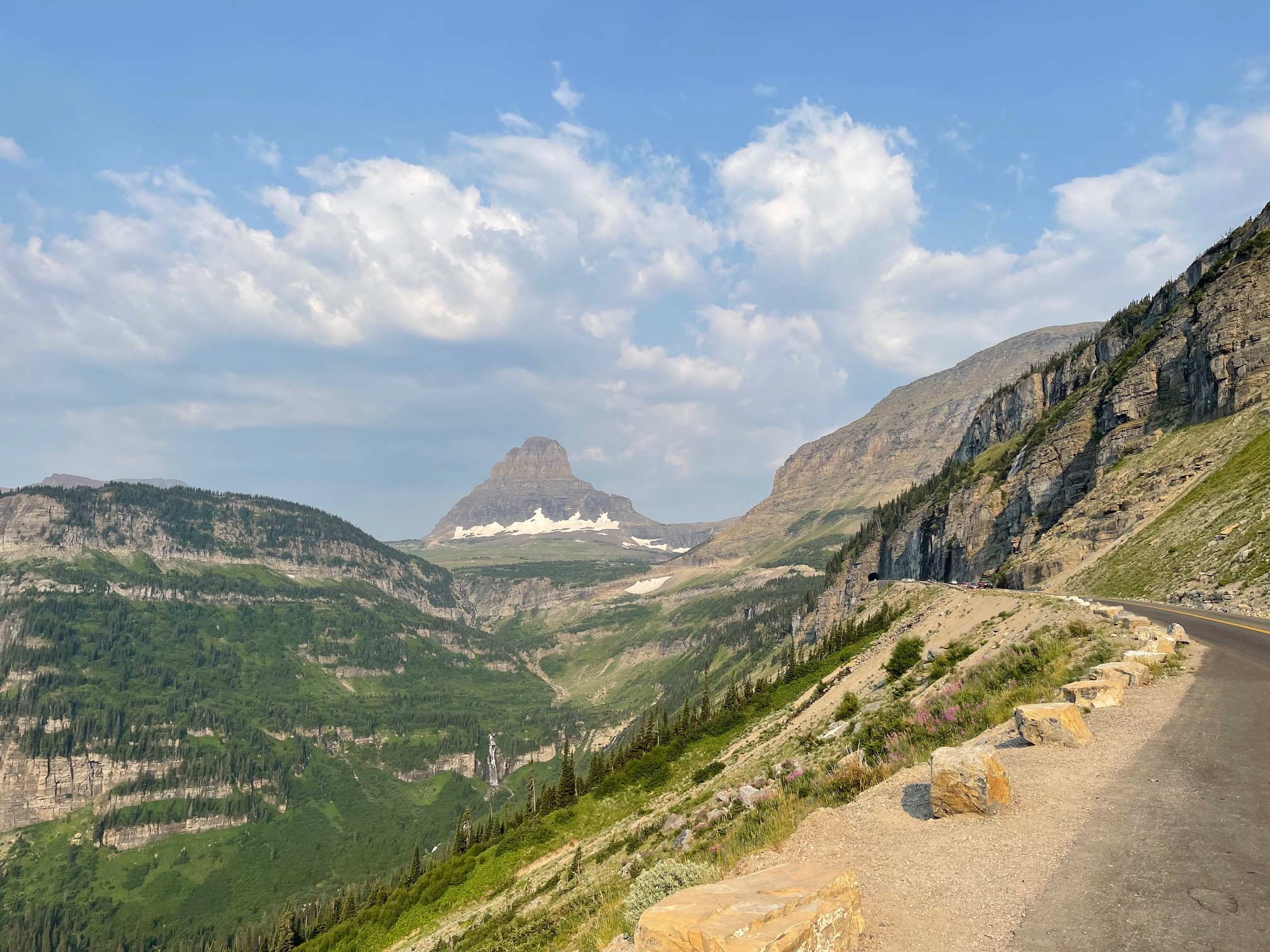
First, the terrain is mostly open road, the sage, big vistas, yadda yadda. Every 20 miles or so you cross another range, which might mean climbing a thousand feet. No big deal on a motorcycle, right?

However, the roads had multiple signs warning about fresh oil, which is applied to control dust and waterproof/strengthen chipseal. Those climbs mean tight turns climbing the hill and coming back down.

Cornering on a motorcycle is problematic. How much traction does your bike have? The only way to find out is to push it too hard, at which point you crash. Instructors will always tell you that if you have a choice between braking during a turn (as opposed to before) or turning more sharply, always turn more sharply. However, that's on dry pristine pavement. What happens if they are wet, gravelly, or oiled?

I don't know, and I basically lost all confidence in my cornering today. Not because I slipped, but just because I don't have enough experience with this stuff. This means I slow way, way down, and is quite demoralizing. Ervan experienced this too, but not anywhere near the same degree.

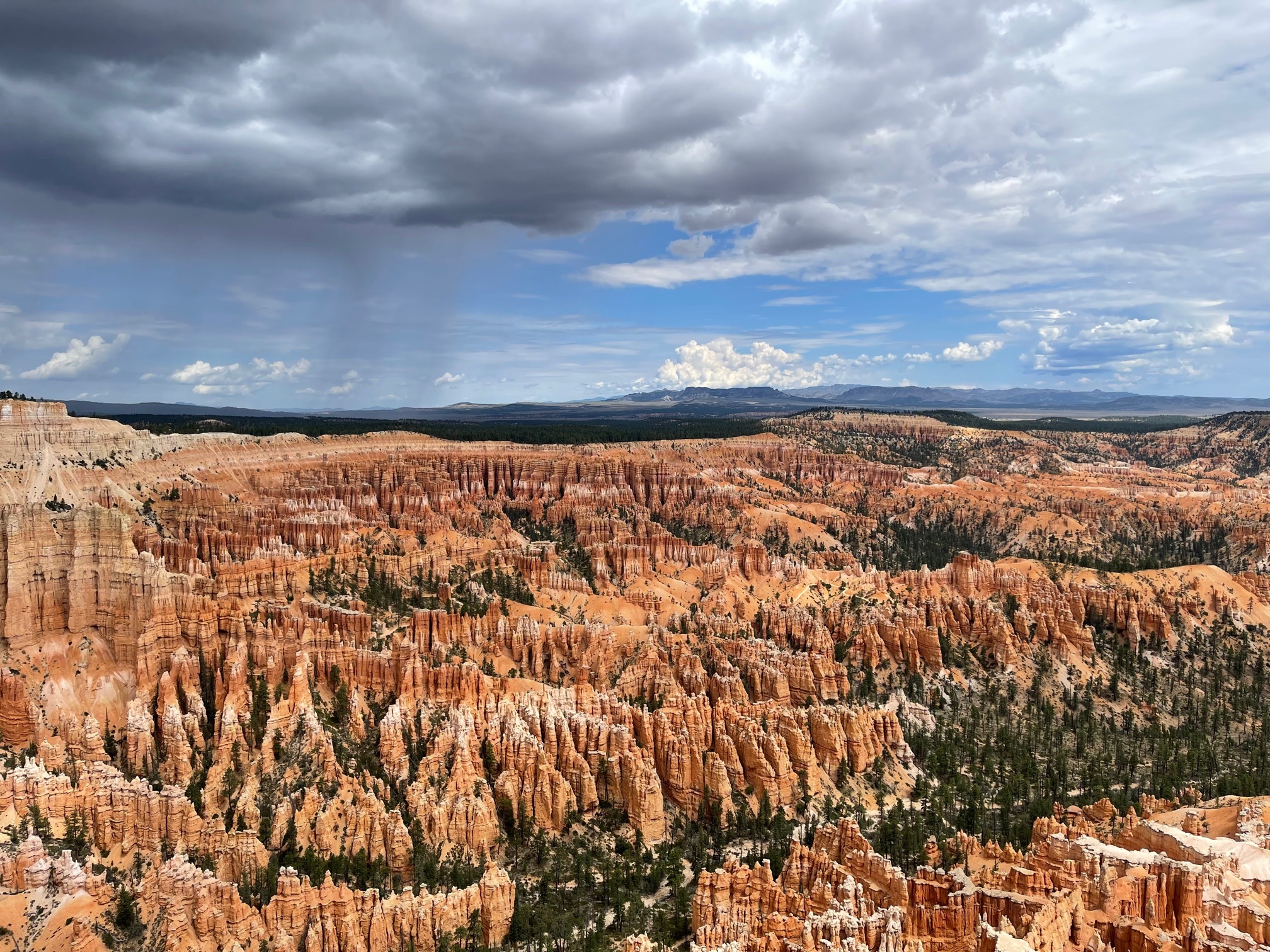
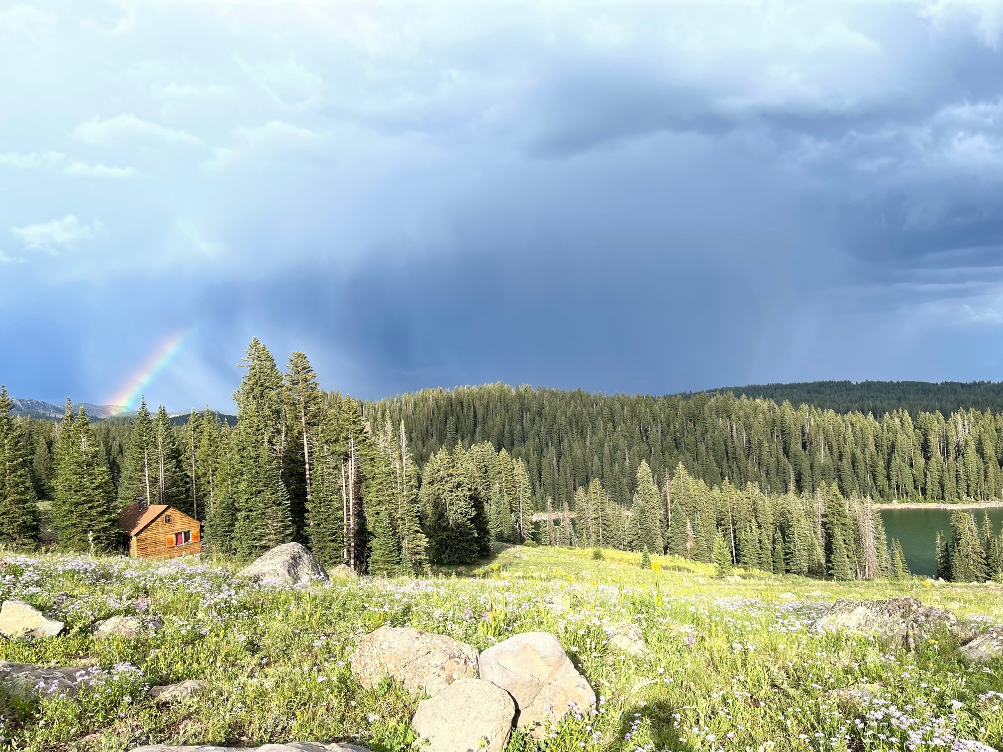
Eventually the oiled highway went away and we sped towards Ely and Austin. Along the way big thunderclouds build up in front of us, blocking the way. Giant lightning bolts in the distance, and one thunderclap I heard over the the noise of the storm, the road, and the earplugs I wear.

We missed the first storm because the road turned at the last minute, but the next two times the road turned a bit too late and we were caught in the edges of the rain before we powered out into the dry. Note that on either side of these squalls there were high cross-winds, making travel difficult despite being out of the rain.

We sped back up on the dry road and headed on towards lunch. As I did so I noticed an odd-shaped sign on the sign of the road approaching at 65 mph (I was kind of freaked by the rain and the oil and the curves and being ultra careful). As I came up to it I realized it was a freak'n cow standing on the side of the road. I started in surprise and carefully swerved towards the center of the road. The cow never moved, and they aren't liable to run in front of you, but they might amble.

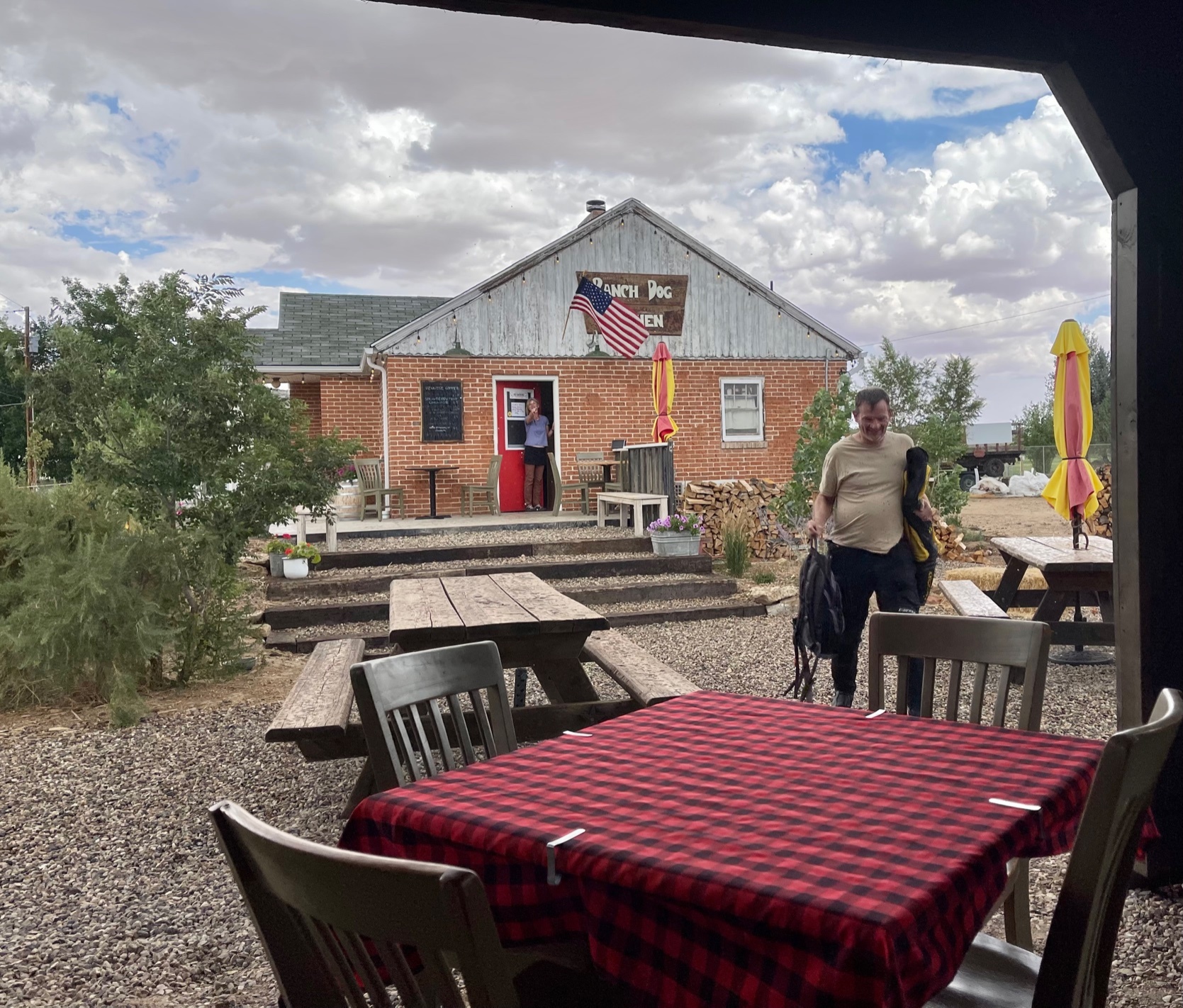
We arrived in Austin, where there were theoretically four restaurants, including a "Stargazers" and a "Kerouac", both promising names. Neither was open, so we ended up in a coffee shop that served their sandwiches with baggies of baby carrots.

As we munched, the storms we had been dodging caught up with us, drenching our bikes as we ate. We then had a problem, we had both vowed never to ride in the rain, but we had 115 more miles to go, and there was no place to stay where we at. As we studied the map and saw that at the very least there were no twisties, the gloom started to lift.

The rain squalls were moving fast (remember that wind), and it looked like the one above us would be done soon. The question was whether to go forward or not. There were other squalls out there, and southern Utah had a band of rain. Yes, southern Utah in July.

Finally we headed out. I had good strategies for dealing with twisties, oil, rain, and wind: go slow. 
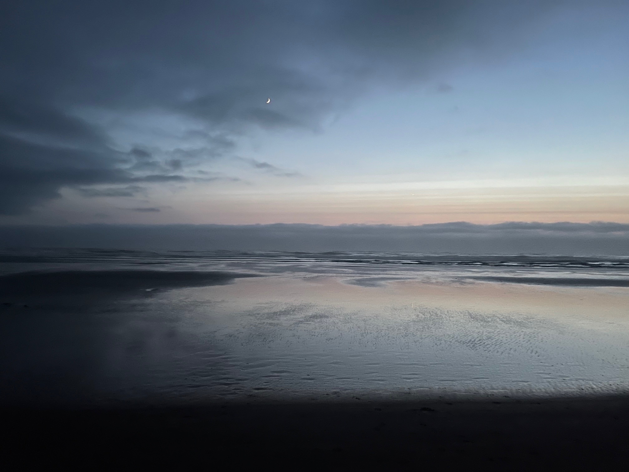
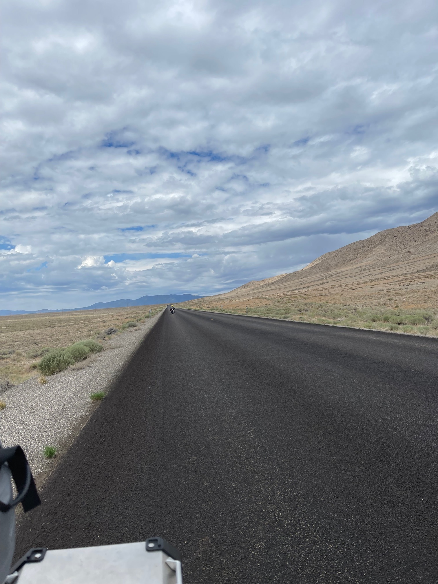
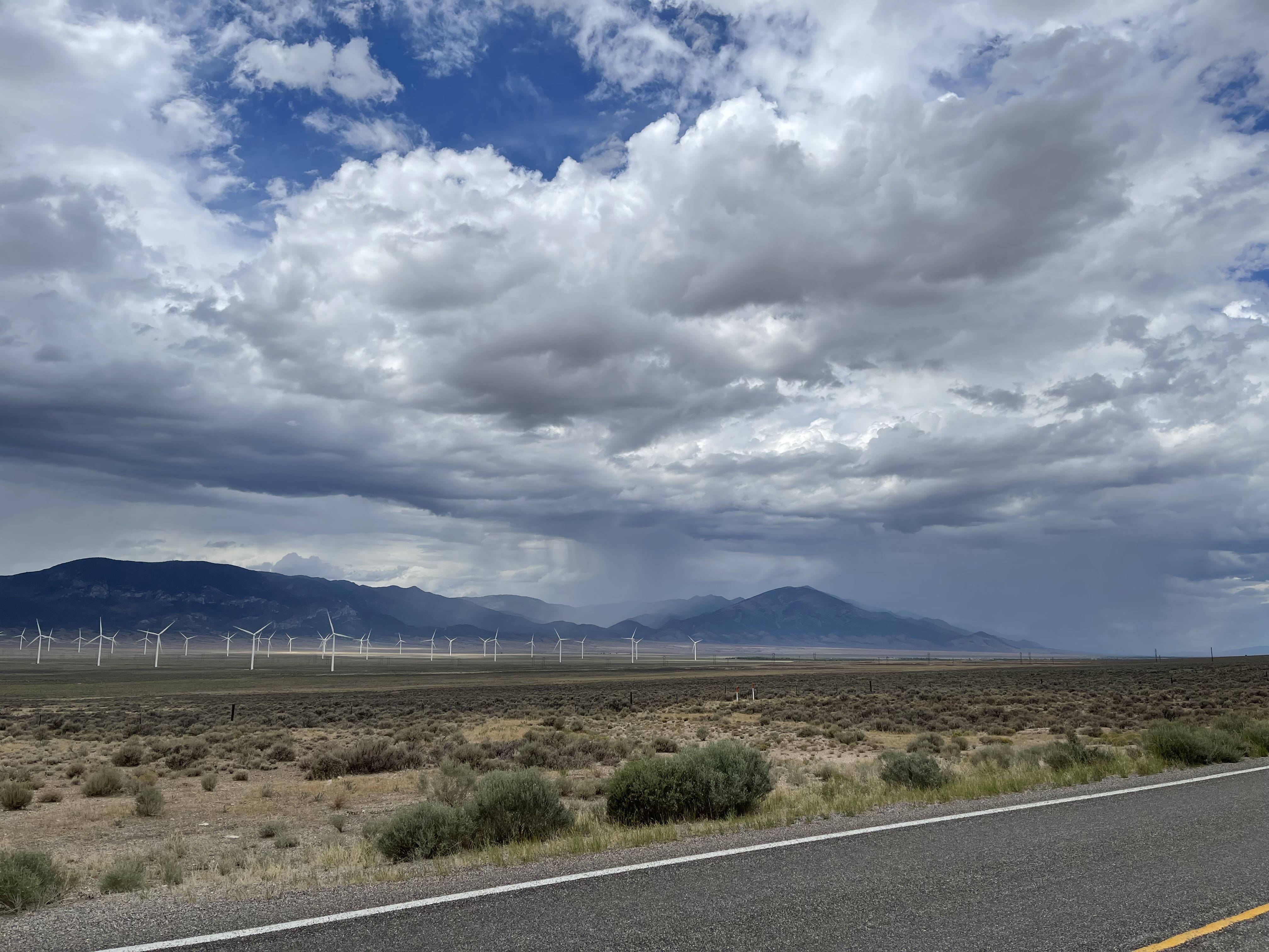
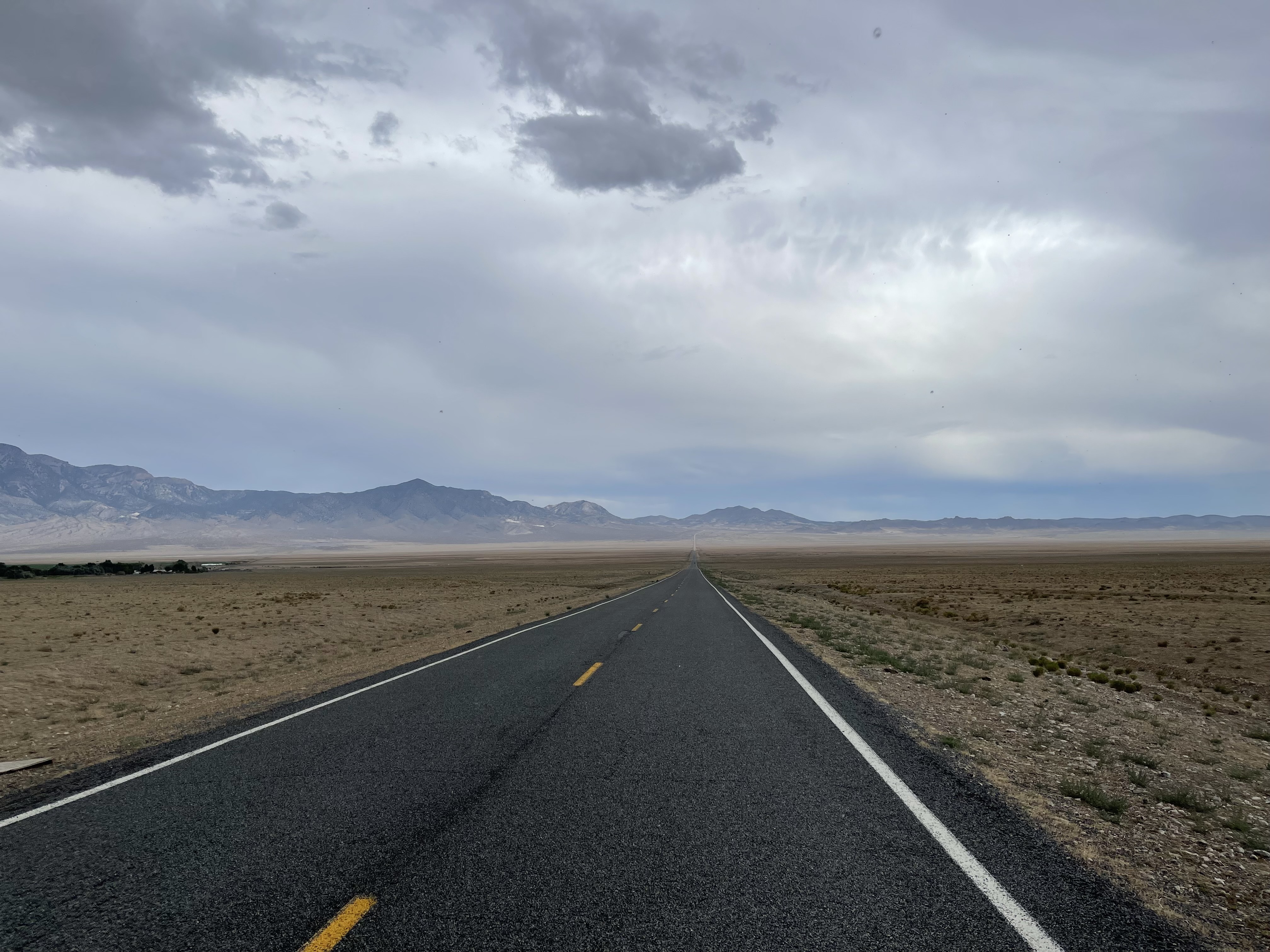
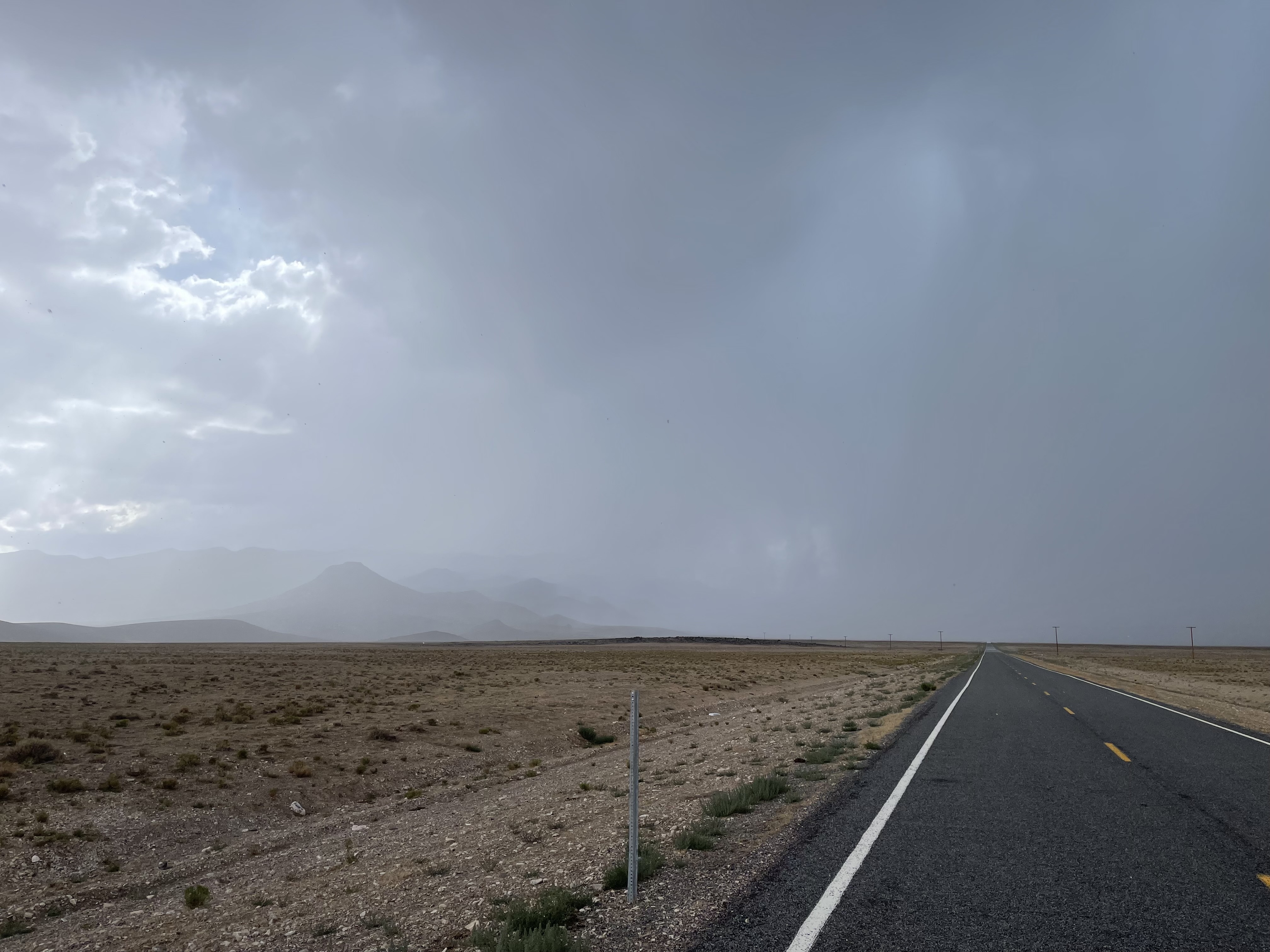
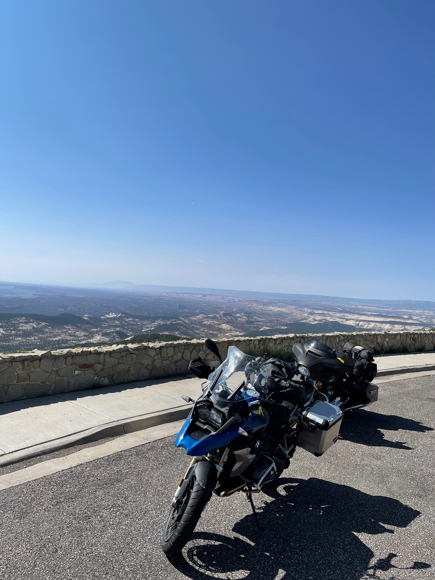
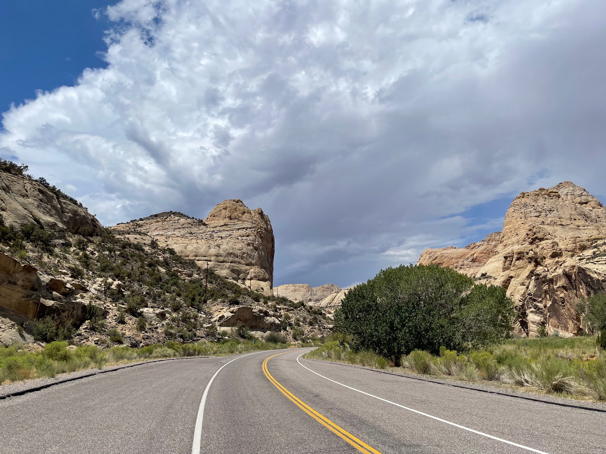
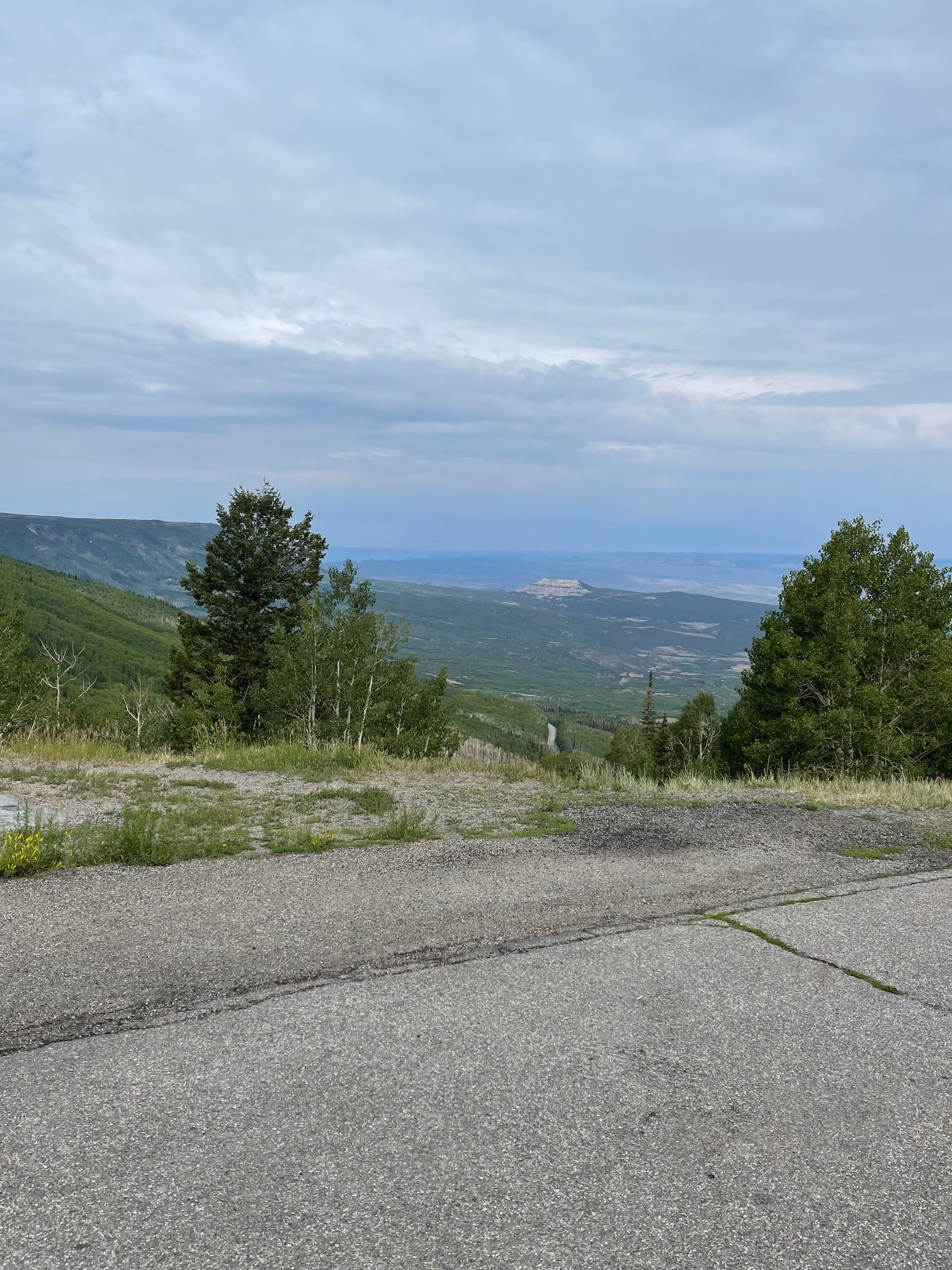
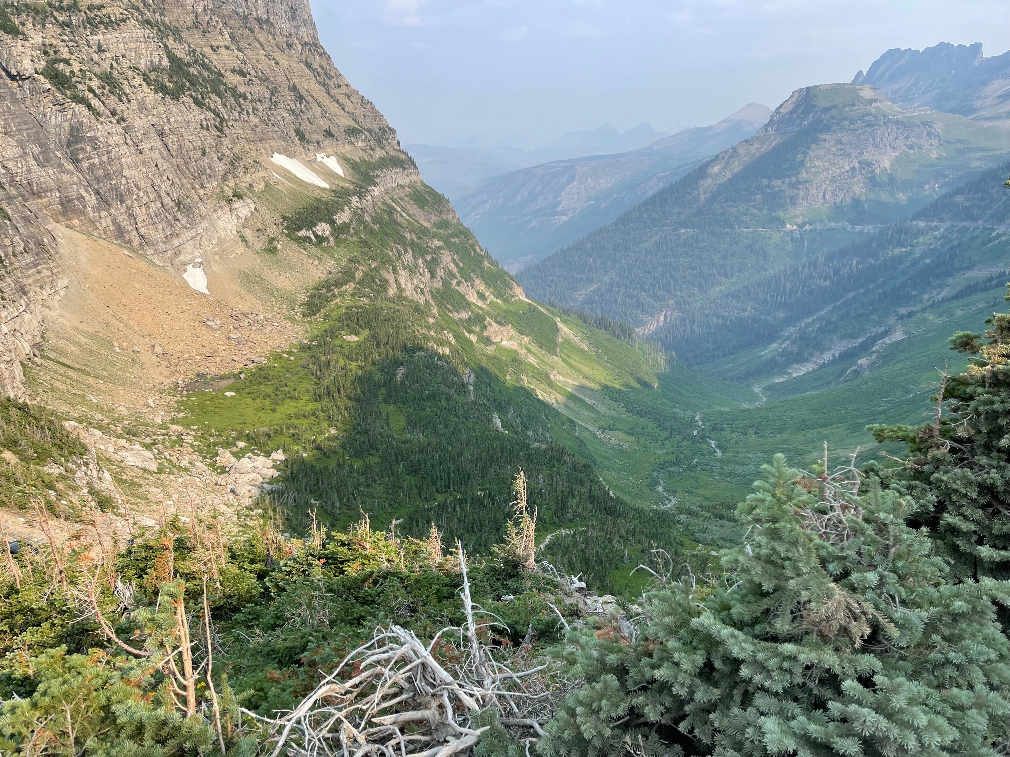
And we were going to hit some weather: see the pic of :windmills and ominous skies." Once again the road turned just before the squall, but the last range we had traverse dropped us right into the back edge of maybe the biggest squall we'd hit. Luckily we were past the twisties by then and on a long straightaway. The "Where we are going" pic is our view forward, and the "Where we came from" pic is the squall that caught us.

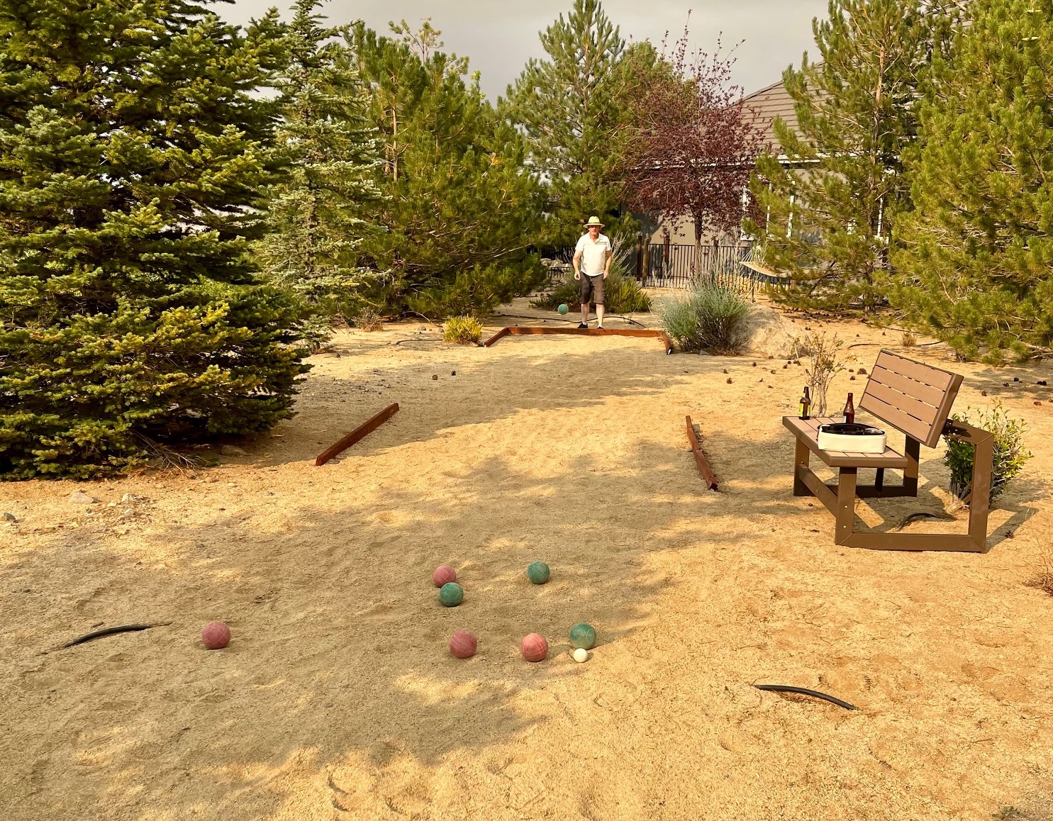
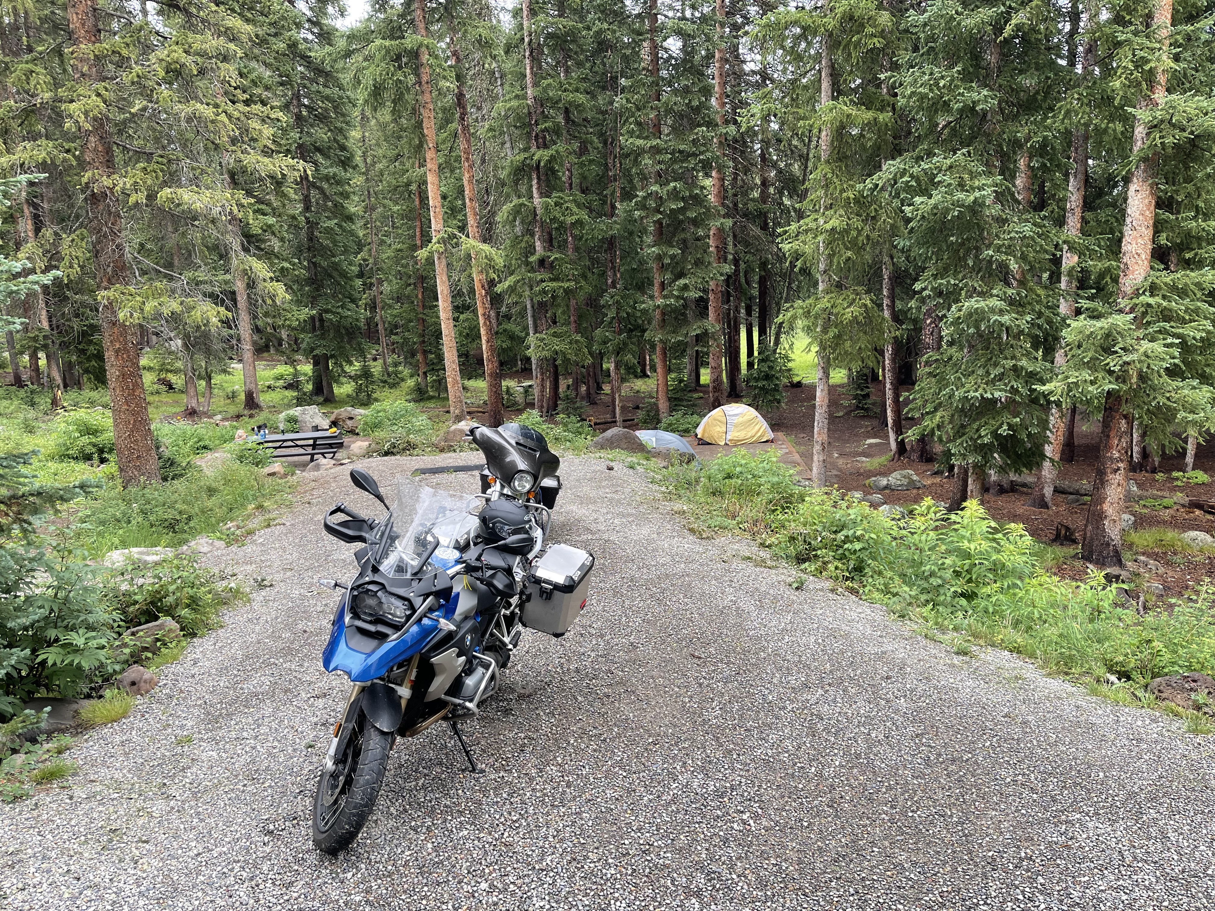
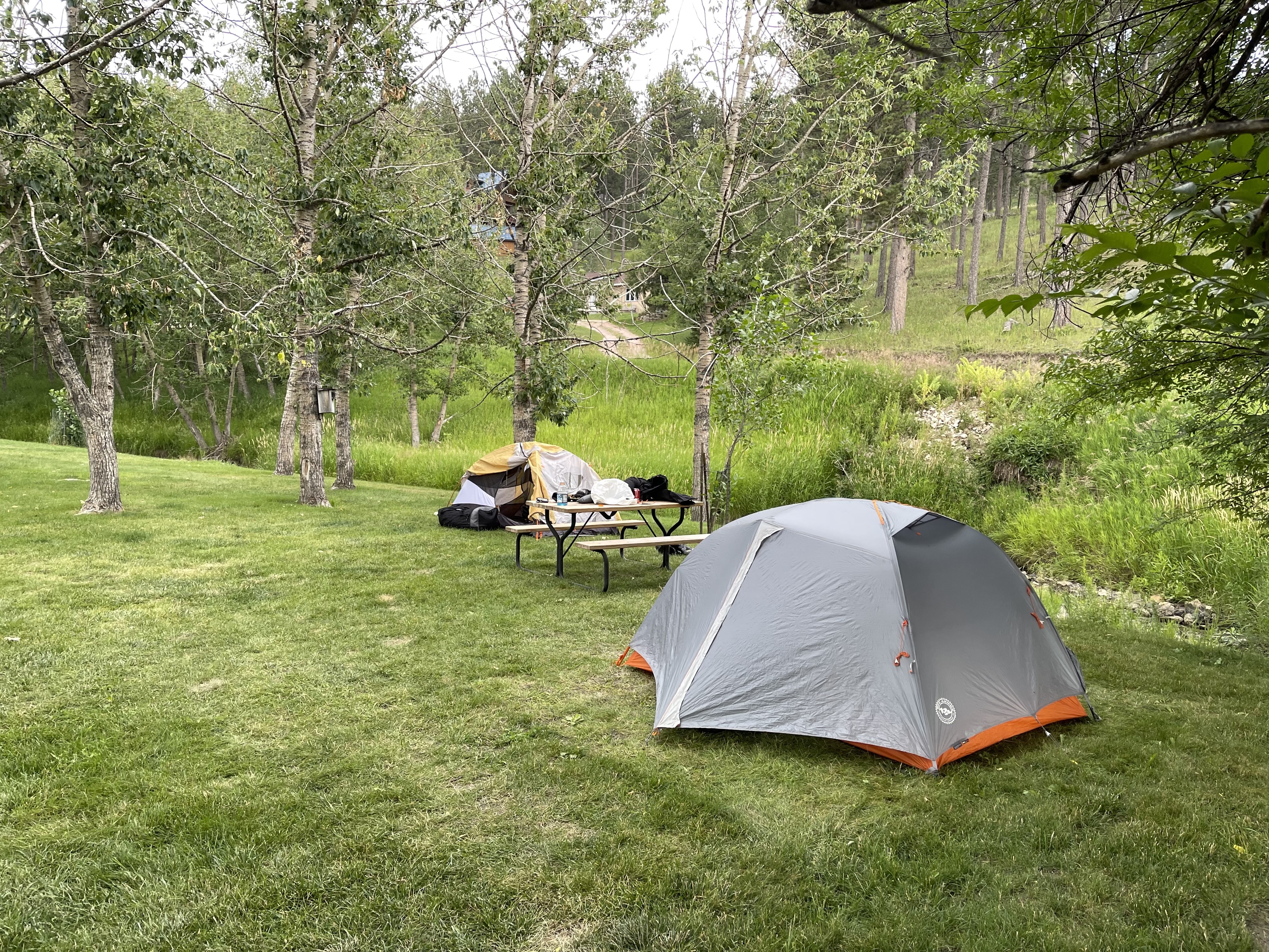
At the end we made it to camp in plenty of time, and even played one of Ervan's many board games. I was a bit rattled by the tension of the day's ride, but I had strategies for dealing with rain, with bad road surfaces, with twisties, and with wind. Everything except that fucking cow. THAT was scary.


Bryce, Petrified Forest, Rain and Surprisingly Good Pizza
Day 10 - 7/20/2021: 85 miles (2338 total)
5:10 pm
(2070)

The plan today was to just bike from the Beaver KOA to a nothing RV park called Sleepy Hollow. However, I prevailed upon Ervan to swing past Bryce, and it really wasn't out of our way.

Just like the first time I was there, the hoodoos are mind-bogglingly cool and weird. We went to Bryce and Sunrise points, and then checked out the FCFS campground in the north, called "North Campground". We were actually able to find some spots, but nothing that really spoke to us, and staying here after biking only 53 miles would put the reservations we have over the next week in jeopardy.

So after dithering a bit as we watched the lowering skies and studied radar maps, we decided to try to scoot under the weather and get to Sleepy Hollow.

Alas, the rain caught us again (Pete's avg speed during rain: ~ 20-25 mph). It let up again just as we pulled into a tiny cafe in Escalante which is called "Ranch Dog Kitchen" and run by a Swiss woman I'll call Inga. Inga came to the states decades ago, first in California, but then it sounds like she was priced out and headed east. Escalante had a reasonable number of non-Mormons and a health food store, so she stayed. '

The Viennese coffee and buffalo/jalepeno sausage sandwich were great, but then she had to kick us out because she was closing. By this time the skies were lowering and Inga generously offered her covered outdoor seating area to wait it out, "or even camp there!"

We stayed for 45 minutes during a torrential downpour debating our next move. The rain was lightening up, but Dark Skies said the entire region had a series of thunder clouds coming through over the next few hours, so I called "unsafe" and that meant we stayed.

Found a cute little cabin, visited the local Petrified Forest State Park. I made my Apple Watch Move quota of 1000 calories by the 2-mile "strenuous" hike to see the wood. It actually was a bit strenuous.

After this, good pizza, a single beer, and tomorrow morning we head out into what Dark Skies claims will be a rain-free morning and afternoon to make up time.


Detour to Grand Junction
Day 11 - 7/21/2021: 274 miles (2612 total)
7:09 pm
(2071)

Had an equipment failure today: my riding pants turn out to have zippers all the way up (who knew?), and one of them broke, i.e. a couple teeth are missing and the zipper could not be re-threaded.

We detoured to Grand Junction to a motorcycle accessories shop that supposedly had some pants that would fit me. Alas, they did not, so I was left w/ a pair of pants where one of the pant legs flaps in the breeze, making it completely useless if I hit the tarmac.

However, with the aid of a screwdriver and plyers from Ervan, and a couple safety pins from a hotel clerk, I was able to bend the zipper clasp enough to re-thread it, clamp it back down, and then use the safety pins to prevent the clasp from de-railing at the lost teeth.

Not great, but probably good enough.

Turns out Grand Junction has a lot of public art! Also Jack Daniels ice cream.


Up to Grand Mesa
Day 12 - 7/22/2021: 143 miles (2755 total)
12:15 pm
(2072)


We decided we needed a day off, and to get away from the heat. As we discussed this in the breakfast room at the Grand Junction Hampton Inn, two different guys leaned in and told us about wonderful campgrounds up on Grand Mesa, at about 10300 feet not all that far from where we were. After a quick check on the (vague) weather report, we were sold and headed out.

The road started on interstate but soon moved to the side of the cliff and headed up. The road surface was good. Though it was twisty and climbed thousands of feet, it didn't set off any of my triggers until basically the last curve at the top, where for the first time the curve had a sheer dropoff, and the shoulder had crumbled away! Fuck. Luckily I was past the corner almost before it registered how nasty it was.

Once at the top we had to find the dirt road to Island Lake Campground, which we had read was FCFS. The dirt road was part gravel (some deep), part mud, a bit of washboard, some embedded rocks ("baby heads" in mountain bike parlance), and all nasty as shit. And it was starting to rain as we traveled the two miles on this road.

We finally arrived and pulled up next the campground host who had been watching us struggle in. I turned off the engine and he said: "Well, you made it!" Turns out that 116 is a loop road, and coming in from the other side would have been much, much easier. This was good news, because we still had to get out in two days!

Grand Mesa is highly recommended. The city below the mesa soaked in near-100 heat but the mesa was at 75: lush, covered in lakes and ATV trails. The campgrounds we saw were all beautiful, and all full. Luckily, we arrive on a Thursday and got one of the last FCFS sites. It was all full for the weekend by Friday 11am.


Heading north
Day 14 - 7/24/2021: 145 miles (2900 total)
3:28 pm
(2073)

After an off day, we descended the Mesa on damp roads (more white knuckles), and headed north. We could not go east towards Denver because I-70 was closed due to mudslides!


Into Wyoming
Day 15 - 7/25/2021: 243 miles (3143 total)
10:49 pm
(2074)

This ride is giving me a taste of a lot of different types of riding: high-speed passing on open plains, white-knuckle twisties with sheer dropoffs and no guard rail, white-knuckle twisty descents on wet roads.....

Yeah, lots of white knuckles. Ervan is a much more accomplished rider, or at least a much more confident rider, than I. I have problems w/ heights, so sheer dropoffs give me the willies. I also have problems w/ wet or unknown surfaces.

The issue is this: it's impossible to know how much gripping power your tires have. On a car, you might take too much speed into the corner, the car slips a bit, and you muscle it back onto track.

On a motorcycle, you slip on a corner and the bike goes down. It is very difficult to recover from a slip of the wheel on a turn. This might mean road rash and a scratched up bike, or it might mean you are dead.

And here's the worst part: let's say you decide to push it and go through a turn w/ a good speed and you make it through fine. What have you learned? You learned the tire grip was "enough" for that turned, but you have no idea how much excess grip you had. You have no idea if you could have taken the turn w/ 15 more mph, or whether you would have gone done at only one more mph.

The only way you can tell is to keep pushing it harder, and at some point you slip, and if it's in a bad spot you slide into oncoming traffic or off the mountain.

I actually did have one slip when riding on the high road around Lake Tahoe a week ago. My rear wheel hit a "tar snake", which is just a bunch of tar put down on a road to fill in a crack. The problem w/ tar snakes is that they melt in warm weather. My tire hit the snake and moved an inch or two to the right as I took a left curve high above the lake. This scared the shit out of me, and I'm still trying to get my previous level of confidence back.

All that being said, I am loving this ride. Riding a bike is addictive: the power, the "carving" around a curve, the agility.

This ride has gone from riding in the 50's in Oregon to over 101 degrees on our way into Grand Junction a few days ago (and 100 today). We spend most of our time on back roads, not interstates, and most are very good, very smooth. Some of them suck. Some of them have chipseal, which is a chunk asphalt to which they spray oil. The oil seeps into the upper level of the chipseal, hardens it, and waterproofs it.

Problem is that they have to apply multiple coats, and the road is never closed. So when we were climbing Rabbit Ears Pass today, the ride went from fun to white knuckle when the last few miles to the top (at 9400 ft) were new chipseal w/ signs telling us "new oil". In other words, the last few miles to the top were on new chipseal, which is already squirrelly like grooved pavement, that had oil spread on it recently. You can't imagine my relief when we got to the top and the chipseal ended, w/ beautiful smooth dry pavement down the other side.

Now, the first picture is of Fred, who has essentially my bike. The bike is an "adventure" bike, meaning that it's suppose to be good on both pavement and in the dirt. In practice, almost noone takes these big 550-lb bikes in the dirt; they usually take something much lighter. This crazy bastard is following an offroad trail from New Mexico up to Missoula. All the stuff I described above? Nothing compared to what Fred is tackling. Ervan and I climbed and descended the 5000 ft up to Grand Mesa from Grand Junction on twisty pavement. He did it on twisty mud.

I am not worthy.

There are two pictures here from the Wyoming Territorial Prison in Laramie, which operated from 1872 to 1901. They had bios of 30 or so of the prisoners, and the original furniture and equipment from the time. Prisoners were not allowed to talk unless spoken to, "exercised" within a couple feet of their doors (no prison yard), and were under strict control at all times. Butch Cassidy was here for a year. Four or five women were there. Native americans, whites, and blacks were all represented, and had many, many different paths to ending up there. One, and evidently only one, man got out and became an upright pillar of the community: a house builder.

Yes, that's a literal ball and chain. They were a .... drag, but if you escaped you could cut it off. The other two pieces were part of an "Orgeon Boot". It's a framework locked around your boot, and then an extremely heavy shackle locked around your ankle and just resting on top of the boot frame. You couldn't cut off the shackle, pretty much ever.


Into the frying pa.....I mean Custer SD
Day 16 - 7/26/2021: 207 miles (3350 total)
5:25 pm
(2075)

Today we rode from Wheatland to Custer. We were a bit concerned about the weather, as some intermediate points called for 96 degrees, but Custer looked a bit cooler. Ha!

Custer is a bit cooler, at 87 degrees w/ a hazy sky, but during the ride we had long stretches of 101-103 degrees, our hottest ride yet. This was rough, but we had a number of stops planned, and it all worked out.

Our first stop was the Oregon Trail Ruts. Seriously, they claim ruts are still there since the 19th century. It was just off our path so we decided to go. We were put off a bit when we arrived and found that it was a gravel road, but it's an adventure! The gravel road was fine.

The ruts were cool; they had been ground into the bare rock by all the wagons going past (see pic). This is all new to me, of course, as I never took a history class and so my knowledge is patchy, at best.

Next stop was Fort Laramie, an important cog on the road to "civilizing the west", or "wiping out the natives", or however you want to put it.

The settlers on the Trail needed protection from the natives, who were surprisingly concerned about large numbers of settlers cruising through their land. There were a few incidents, a few deaths (though only 20f the 20,000 people who died on the trail died from Indian attacks), and the US army gathered the Indians to a meeting where they brokered a peace deal, granting safe passage to the settlers, and large swaths of land ("reservations") to the Indians in perpetuity.

The Indians went home happy that the settlers would leave their land alone, the US army started stocking multiple forts as protection/resupply/shelter for the travelers and sent the new pact back to congress, who did not ratify it.

Then gold was discovered in Montana, meaning miners started going through the Indian territories in droves, and shit got real.

I found this all fascinating, including the examples of the horse carts and the conestogas.


Custer Scenic Drive and Needles Highway … into Deadwood (WITH MOVIES!)
Day 17 - 7/27/2021: 102 miles (3452 total)
1:47 pm
(2076)

The Custer Scenic Wildlife Drive is through the Custer State Park and, as the name states, is supposed to be both scenic and have wildlife. And the motorcycle-oriented map shows parts as 3 and some a 4 out of 5 for desired motorcycle experience, mostly because of hairpin turns, though almost none of them have elevation. Still, there is some amount of technical ability needed.

This was a beautiful ride through the hills and forests. It wasn't very difficult, but you did have to keep your eyes on the road as switchbacks abound and some of the curves are tight. But no wildlife! We were promised buffalo and we passed field/prairie after field/prairie with nary a horn in sight....until the last one, where a herd of a hundred or so buffalo were crossing the road.

Some folk diss buffalo/bison as merely big cows, but perspective differs when you are up close and personal, and even more so when you are out in the open, as on a motorcycle. They are scary, and the tension is ratcheted up even further when they are shepherding calves through a bunch of big metallic intruders in their domain (they essentially have no predators).

In this case, once the buffalo started walking across I was out of luck. (Most) motorcycles lack a reverse gear, so your only quick way out is forward...which is blocked. See video (when uploaded, today or tomorrow) for how this looks. Video is from a GoPro Hero 8. They are both big and not really optimized for streaming right now.

Needles Highway is a nearby Sturgis favorite that is relatively short very twisting, has a few sheer dropoffs, becomes very narrow, and has absolutely unique scenery at the top. The eye of the needle, and all the needles, are quite spectacular as you ride up.

Initially I wasn't sure about this, as I have problems w/ heights, and sheer drop-offs on technical hairpins definitely hit my panic button. However, on a YouTube video it seemed these drop-offs are limited in number, so off we went.

The road is absolutely spectacular. Very technical: there are many hairpins marked with absurdly slow maximum speeds, including one that is marked at 5 mph. Now these speeds are not just for motorcycles, but also for cars. But motorcycles are also very unstable at slow speeds, so this combination can also be lethal.

In point of fact, I cruised through the whole highway at my own pace (Ervan periodically slowed down to make sure I was still there) and didn't really have any problems, at least from the road.

The problems I had, such as they were, came from drivers, who are seemingly all in big SUVs. The road at the top is beautiful but very narrow. I don't know how two big SUVs could pass each other. With a motorcycle, they routinely take more than half the road but motorcycles really don't need that much space as lone as you don't make any errors.

However, near the top at the skinniest portion of the road, one driver of a big SUV, either from psychopathy or because he was totally freaked by the road himself, came right down the middle. This left us motorcyclists in about a two-foot lane, which freaked both of us out. Luckily, no problems.

So Needles Highway (a favorite of the Sturgis crowd, and this was 10 days before Sturgis starts this year) was probably the scariest and most technical ride we've done on this tour and I was very happy and relieved that it went so well.

(ignore last three minutes, maybe first three, haven't had a chance/tools to trim)


A Close Encounter
Day 18 - 7/28/2021: 203 miles (3655 total)
2:39 pm
(2077)


We are heading west now, with only one tourist attraction on our route: Devil's Tower, which is cool.

Not cool was waiting in the heat for 20 minutes to get to the ranger booth who when just waved us through w/ our park passes. Need to have first-class and second-class lanes, I'd pay more!

Part of the reason they don't add another ranger is surely that the parking lot fills up very early and RVs end up endlessly circling for a spot. Motorcycles are much easier to park. This time we found a single guy taking up a space but carefully parking to one side, so we got both our bikes in as well. When we came out there was a different bike there, he was gone but we gave it to some Harley riders.

The short hike around the tower is very nice; the tower is just as impressive up close as from further out. There were a few climbers on the tower itself but they were all futzing around low or coming off. Not sure if they started early and made it back down or whether it ws just tougher than expected. One guy came down leaving his belay point above him, maybe going back up?

The rest of the day was mostly highway, unusual for us, and brutal. The roads were signed 80 mph but there was a hellacious cross-wind. This bothers Ervan, but the wind is even rougher on my lighter and higher. Stayed at Deer Park, a nice family-run campground in Buffalo Wy.


Going towards the sun
Day 19 - 7/29/2021: 290 miles (3945 total)
4:44 pm
(2078)

So Ervan very tentatively broached the topic of possibly going our own ways for the last two or three days of the trip, and was a bit taken back by my immediate agreement. We travel at different speeds and have different acceptable risk levels, so we've had 17 days of compromises. It's all been amicable but now we get to the last ride decision.

He wants to do the Beartooth Pass and I've had my heart set on finishing this ride on Going to the Sun Highway for years, so off we split.

I headed out early, having made my reservations for the next two nights. When ervan came through the same highway he saw the detritus of a bad motorcycle accident. Not clear what happened, but evidently the motorcycle was pulling a trailer. It was still a bit windy, the roads were mostly straight though a bit wet.

I was happy to get off the super-slab a bit later and back on country roads.

I ended up in a place called Judith Mountain Lodge, which worried me a bit as it conjures up images of winding up the mountain. This fear was unfounded, though I did have 6+ miles of gravel to navigate to get there. Turning the bike around in the morning might be a bit fraught.

Fantastic beef tenderloin / baked potato meal for the second straight night. I think tomorrow I fast....though Shiree mentioned something about baking danishes for the morning....


Into Saint Mary, MT (just the KOA section of town)
Day 20 - 7/30/2021: 268 miles (4213 total)
6:42 pm
(2079)

This morning I had a wonderful home-baked danish (big, fluffy, the way IKEA danishes should be but usually aren't), said NO to the waffle, and headed towards Saint Mary.

However, first I had to get the bike, which was in 4 inches of gravel on a slope, turned around and carefully eased out of the gravel pit they call a parking lot. Then I had to bike six more miles of gravel road, downhill. Downhill is much harder than uphill because you have less control.

Only two real issues here. First, a bull/steer (something with horns) was standing in the middle of the road blocking the gate used by the road. As I slowed to a halt a car coming up the hill did the same, and then they eased slowly forward. The steer looked at them, and looked at them as they got closer, and then finally broke for the hills. The driver saluted me and I gave them a happy wave and headed downhill.

Then on the very last turn before pavement, I came close to losing it. It was deep gravel on a turn and downhill. I probably was going too slow, not too fast, but in any case I recovered w/o putting a foot down and made it to the road.

I had a really disheartening conversation with Mike: a real nice guy that works at the lodge: cooking, cleaning, checking people in. We talked off and on while they were getting my room ready and I was drinking the beer Mike had tossed me after taking a look at my dust-covered duds. We talked about the impossibility of getting enough help (really a problem everywhere), which led to covid, which led to him declaring that the he would never get the vaccine and his dad, who works somewhere in the federal apparatus vowed to retire if Biden tried to force him take it.

This started a mini-rant, where he said that he'd worked steer ranches where the only water you had during the day was from the cow troughs, and if that didn't kill him covid certainly wouldn't. Then he continued that the "evidence isn't there, the trust isn't there, and the science isn't there!". Clearly he was parroting something he's seen on TV.

But to be clear, he wasn't an idiot. He came across as a reasonable guy who just happens to live out in the country and gets all his news from very different sources than most of us do.

When I'm out in these places (Montana, Alaska, etc.) I often have very good interactions with people . We talk about the land, the history, it's beauty, and I can fool myself into thinking that don't immediately mark me for an eastern liberal, someone other.

I can't imagine that anything, other than the death of someone close to him, would change Mike's mind. And it's not just covid, it's the whole conservative trumpist mindfuck.

One of the cool things about riding a motorcycle out here is that there is a sort of brotherhood among bikers, even if they are riding German imports. We all do variations of the "Harley wave" open the freeway, and we all talk to each other at various different stops, but it's only about the ride, and destinations, not about anything really matters.

This is everywhere in rural America out west, and in Alaska. I shouldn't overstate too much, I do occasionally see (elderly) folk w/ masks, and at least one such couple had a western drawl, but this is a different America, and it's not one that is going to converge with "our" America any time soon.


Day 25 - 8/04/2021
11:54 am
(2082)


Going-To-The-Sun Highway
Day 52 - 8/31/2021: 228 miles (4441 total)
11:51 am
(2081)


I ended the trip by riding up Going-to-the-Sun Highway from the east side, and then continuing down to Bill + Barb’s house south of Missoula. Great ride+